Introduction
Understanding how to calculate stream gradient is crucial for environmental scientists, geologists, and engineers. Stream gradient, or the slope of a stream, determines the velocity of water flow, which in turn affects erosion and sediment transport. This guide simplifies the process of calculating the gradient, usually defined as the drop in elevation per unit distance along the stream.
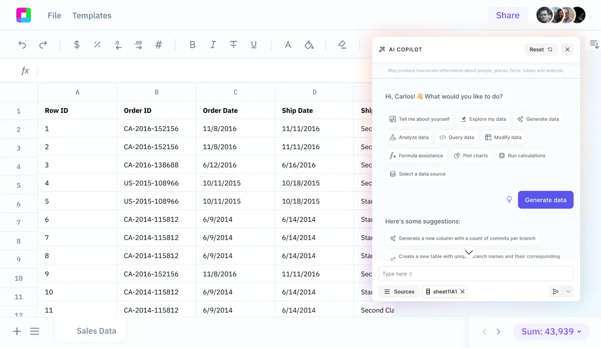
For efficient calculation, the use of reliable tools is recommended. In this guide, we will explore how Sourcetable can help you calculate stream gradient and more using its AI-powered spreadsheet assistant. Experience the ease of calculations at app.sourcetable.com/signup.
See how easy it is to stream gradient with Sourcetable
How to Calculate Stream Gradient
Understanding Stream Gradient Calculation
To calculate the stream gradient, one must know the vertical and horizontal differences along a stream's path. Specifically, stream gradient is calculated as SG = VS / HS, where VS stands for the vertical stream elevation difference and HS is the horizontal stream distance. This calculation helps in understanding the steepness of a stream's flow.
Tools and Resources Required
Several tools facilitate effective stream gradient calculation. Utilizing Hillmap.com is crucial as it provides detailed maps and a path tool to trace the stream path and measure distances. Paper maps alongside digital tools aid in a clearer understanding of terrain using contour and index lines. The integration of satellite imagery and terrain mode enhances the precision in tracing and figuring out exact elevations and distances. Additionally, incorporating real-world data from fishing forums, hiking photos, and scouting trips can offer practical insights into the stream's conditions.
Step-by-Step Calculation Process
Begin by estimating the stream's elevation drop and the total distance it travels, which are crucial data points for the formula. Using Hillmap.com's path tool, trace the flow path of the stream to measure the distance accurately. Calculate the elevation difference using contour lines and index lines provided on the map. Finally, apply these figures to the formula SG = drop / distance to find the stream gradient in feet per mile (fpm), a common measurement unit in stream gradient calculations.
This concise method of calculating stream gradient combines technological tools and practical approaches to yield accurate and useful results for environmental scientists, geologists, and outdoor enthusiasts keen on understanding water flow dynamics in natural landscapes.
How to Calculate Stream Gradient
Stream gradient is crucial for understanding river behavior and planning safe aquatic activities. Calculating stream gradient involves simple mathematical steps.
Determining Stream Gradient
Begin by measuring the vertical elevation difference (VS) and the horizontal distance (HS) of the stream segment you are evaluating. Use a topographic map or digital elevation data for accurate measurements.
Applying the Formula
Insert the obtained values into the formula SG = VS / HS, where SG represents the stream gradient. This calculation will result in the stream gradient expressed as the elevation change per unit of horizontal distance.
Example of Stream Gradient Calculation
For instance, if Cavitt Creek displays a vertical change of 300 feet over a horizontal distance of one mile, applying the stream gradient formula yields a gradient of 300 feet per mile. This is calculated by dividing 300 by 1 (300 feet / 1 mile).
By following these instructions, you can quickly and accurately determine the gradient of any stream, enhancing both ecological studies and recreational planning.
Try Sourcetable For Free
Calculate anything with Sourcetable AI. Tell Sourcetable what you want to calculate. Sourcetable does the rest.
Sign Up
Examples of Calculating Stream Gradient
Example 1: Simple River Gradient
Determine the gradient of a river from its source at an elevation of 500 meters to its outlet at 100 meters over a horizontal distance of 200 kilometers. Calculate the gradient using the formula: Gradient = (change\ in\ elevation) / (horizontal\ distance). Therefore, the gradient is (500\ m - 100\ m) / 200\ km = 2\ meters\ per\ kilometer.
Example 2: Mountain Stream
For a mountain stream that descends 300 meters in elevation across a 3 kilometer stretch, the gradient would be calculated as (300\ m) / (3\ km) = 100\ meters\ per\ kilometer. This steep gradient indicates a rapidly flowing stream.
Example 3: Gradual Slope River
A river that gently slopes from an elevation of 200 meters down to 150 meters over a span of 50 kilometers has a gradient of (200\ m - 150\ m) / 50\ km = 1\ meter\ per\ kilometer. This example shows a river with a very mild gradient.
Example 4: Intermittent Slopes
Analyze segments of a river individually when the slope varies significantly along its course. If a river drops 120 meters over 30 kilometers, then rises 20 meters over the next 10 kilometers, calculate each segment separately before averaging. Segment 1 gradient: (120\ m) / (30\ km) = 4\ meters\ per\ kilometer; Segment 2 gradient: (20\ m) / (10\ km) = 2\ meters\ per\ kilometer. Average gradient: ((4 + 2) / 2) = 3\ meters\ per\ kilometer.
Example 5: Complex River System
In a complex river system with multiple elevation drops and rises over varying distances, address each significant segment. Example segments might include a rapid 100-meter drop over 1 kilometer followed by a gradual 50-meter rise over 20 kilometers. Calculate each, then combine for an overall gradient analysis.
Discover the Power of Sourcetable for All Your Calculations
Sourcetable transforms how you compute complex equations, including environmental measures like stream gradient. As an AI-powered spreadsheet, this tool integrates robust AI assistance that simplifies intricate calculations across various fields.
How to Calculate Stream Gradient with Sourcetable
To determine stream gradient, express it as the change in elevation over the stream length. Type your query, such as "calculate stream gradient," and Sourcetable's AI will compute the values instantly. The formula used will appear like this: gradient = (elevation_1 - elevation_2) / stream_length. Plus, our AI explains each step in the process through our user-friendly chat interface.
Sourcetable is ideal for both educational and professional environments. Whether you're studying hydrology or working on a geological survey, Sourcetable equips you with the tools to derive precise, reliable results effortlessly.
Embrace the future of calculations with Sourcetable, where accuracy meets efficiency in one seamless platform.
Use Cases for Calculating Stream Gradient
Determining Stream Difficulty for Adventure Sports |
Calculating stream gradient aids in assessing the difficulty level of waterways for activities like kayaking. Specific gradients indicate different classes of rapid difficulty, with gradients over 300 fpm typically classifying as Class V, suggesting challenging and possibly dangerous conditions. |
Stream Erosion and Sediment Transportation |
Stream gradient plays a critical role in predicting how sediments are transported from the headwaters to the mouth of a stream. Higher gradients generally result in faster water flow and increased sediment transport capacity. |
Hydrology and Water Flow Analysis |
Understanding stream gradient is essential for hydrologists to determine how water flow changes across different segments of a stream. It informs on aspects like water speed and discharge variations downstream. |
Ecological and Environmental Planning |
Landowners and environmental planners utilize stream gradient knowledge to design strategies for stream preservation and land use around waterways. It helps in anticipating areas prone to rapid erosion or deposition. |
Enhancement of Fishery Management Practices |
By analyzing stream gradients, fisheries can better understand habitat conditions. Steeper gradients often lead to faster flowing waters that certain fish species prefer, enabling targeted conservation efforts. |
Recreational and Safety Mapping |
For enthusiasts looking to explore or navigate streams, knowing the gradient can guide decisions about safety and accessibility. Steep gradients often indicate potentially hazardous conditions that require careful planning and experience. |
Frequently Asked Questions
How can I calculate the gradient of a stream?
To calculate the stream gradient, divide the vertical difference in elevation of the stream by the horizontal distance over which that change occurs. The formula used is SG = VS / HS, where SG is the stream gradient, VS is the vertical stream difference in elevation, and HS is the horizontal stream difference.
What tools can I use to calculate the gradient of a stream?
Tools typically used for calculating the gradient of a stream include topographic maps or digital elevation models to determine changes in elevation and distances.
What is the equation for calculating stream gradient?
The equation for calculating stream gradient is SG = VS / HS, where SG represents the stream gradient, VS is the vertical stream difference in elevation, and HS is the horizontal stream difference.
What is the difference between overall gradient and maximum gradient?
Overall gradient refers to the average change in elevation over the length of the stream, from its source to its mouth. Maximum gradient refers to the steepest section of the stream where the elevation changes are the greatest over a short distance.
What is a reasonable gradient for a class V stream?
A reasonable gradient for a class V stream, which includes rapid and continuous whitewater, typically involves a steeper and more challenging section of the stream. However, precise gradient values can vary based on additional factors like streamflow and channel characteristics.
Conclusion
Understanding how to calculate stream gradient is crucial for environmental studies and engineering projects. The formula for stream gradient is gradient = (elevation drop) / (stream length). By mastering this calculation, you can assess how the slope of a stream affects water velocity and erosion patterns.
Streamline Your Calculations with Sourcetable
Sourcetable, an AI-powered spreadsheet, simplifies complex calculations such as stream gradients. Its intuitive interface allows you to efficiently perform calculations and analyze AI-generated data without the usual complexities.
Try Sourcetable for free today at app.sourcetable.com/signup and enhance your calculation capabilities.
Try Sourcetable For Free
Calculate anything with Sourcetable AI. Tell Sourcetable what you want to calculate. Sourcetable does the rest.
Sign Up
Recommended Guides
Connect your most-used data sources and tools to Sourcetable for seamless analysis.
Calculate anything you want with AI
Sourcetable takes the math out of any complex calculation. Tell Sourcetable what you want to calculate. Sourcetable AI does the rest. See the step-by-step result in a spreadsheet and visualize your work. No Excel skills required.