Introduction
Understanding how Google Maps calculates travel times is essential for both everyday commuters and travel enthusiasts. This precision is achieved through a complex algorithm that integrates live traffic data, average speed limits, and historical traffic patterns. This process ensures that Google Maps provides accurate and up-to-date travel time estimates to its users.
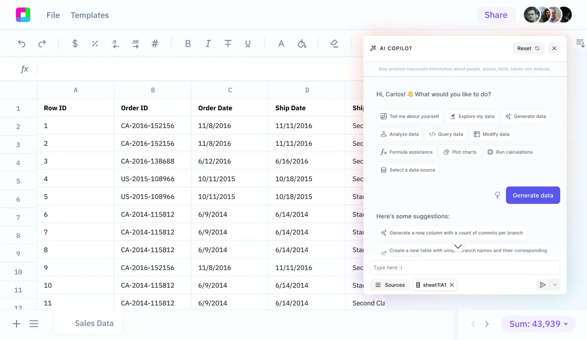
Further enhancing productivity, Sourcetable offers a unique way to interact with travel time calculations and other data analyses. By using Sourcetable's AI-powered spreadsheet assistant, users can explore these computations in more depth. Discover how to leverage this tool by signing up at app.sourcetable.com/signup.
See how easy it is to google maps travel time with Sourcetable

How Does Google Maps Calculate Time?
Overview of Calculation Process
Google Maps uses a complex algorithm to estimate travel time effectively. This process involves analyzing various types of data and applying sophisticated calculations to deliver reliable and real-time estimates for different modes of transport, such as walking, cycling, driving, and public transit.
Key Components of Google Maps Time Estimation
The calculation begins with measuring the distance between two locations using a GIS database that holds detailed geographical data including latitude, longitude, and elevation. This step establishes the foundational distance needed for further calculations.
Following the distance measurement, the algorithm applies speed limits to each road section involved in the route. These speed limits along with the types of roads form the basis of initial time estimations.
The final step involves integrating conditional data, which includes real-time traffic conditions, user data, and road condition data. This live data helps in adjusting the time estimate to account for current travel conditions, making the algorithm responsive to changes such as traffic congestion.
Factor Integration in Time Calculation
Additional factors that influence the accuracy of Google Maps' time estimates include historical traffic data and real-time traffic updates sourced anonymously from devices. This data helps Google Maps to understand typical traffic flow patterns and adjust predictions based on live conditions.
The algorithm also considers external elements like weather conditions, terrain, and traffic patterns, which can significantly influence travel times for all transportation modes.
How Does Google Maps Calculate Time?
Overview of Google Maps Time Calculation
Google Maps calculates travel time using a sophisticated algorithm that leverages various data sources and advanced computational techniques. This ensures highly accurate predictive and real-time journey times.
Data Sources and Algorithm Complexity
The core of Google Maps' time calculation rests on a complex algorithm that uses real-time and historical traffic data, GPS satellite data, and diverse road network information. The algorithm adjusts for differences in speed based on transportation modes like walking, cycling, and driving.
Factors Influencing Travel Time
Several factors are considered in the time calculation, including traffic patterns, weather conditions, terrain, and incidents on the road. The algorithm also incorporates user-specific data such as historically observed speeds, refining the accuracy of travel time estimates.
Real-time Adjustments
Real-time traffic data plays a critical role. This data, sourced anonymously from smartphones, allows Google Maps to adjust travel time estimates dynamically, accounting for traffic congestions and road incidents as they happen.
Calculating Arrival Times
The estimated arrival times are calculated by combining distance measurements, speed limits, and both real-time and historical traffic conditions. This combination helps Google Maps not only to determine the fastest available route but also to forecast the time you might reach your destination under current conditions.
Methodology for Measuring Distance
To measure distance on Google Maps, users can right-click on their starting point, select 'Measure distance', and then click anywhere on the map to mark a path. Distances are displayed in both miles and kilometers.
How Google Maps Calculates Travel Time
1. Current Traffic Conditions
Google Maps estimates travel time by analyzing current traffic data. Real-time speed information from various sources allows Google Maps to provide up-to-date travel time predictions. For instance, if a road has a speed limit of 60 km/h but current traffic flows at 40 km/h, Google Maps adjusts its travel time calculations accordingly.
2. Historical Traffic Patterns
Historical data also plays a critical role in time estimation on Google Maps. By examining traffic speeds on similar days and times, Google Maps predicts future traffic conditions. For example, if traffic usually moves at 70 km/h on a specific segment at 3 PM on Wednesdays, this historical average will inform the predicted travel time.
3. Road Type and Conditions
Road characteristics influence travel time calculations significantly. Types of roads (highways, city streets), the presence of stoplights, intersections, or pedestrian crossings are considered. When a route includes multiple types of roads, Google Maps aggregates the anticipated travel speeds for each segment, offering a cumulative time estimate.
4. Incidents and Roadworks
Unexpected delays due to accidents or road maintenance can affect travel time. Google Maps dynamically incorporates these disruptions into its time calculations by adjusting the expected speed on the affected road segments. For instance, an incident that reduces road capacity by half might double the expected segment travel time.
5. Predictive Models
Google Maps employs advanced algorithms and predictive models to refine its time estimations. These models consider various factors such as seasonal trends, upcoming events, and potential weather impacts, providing a sophisticated forecast of travel time even in complex scenarios.
Discover the Power of Sourcetable for Any Calculation
Imagine a tool that not only calculates but also teaches. Sourcetable, an AI-powered spreadsheet, revolutionizes how we approach calculations, from simple math to complex analytics. Its intuitive AI assistant is equipped to handle any query, displaying both results and methodologies directly within a spreadsheet. Here's why Sourcetable stands out.
Intelligent Calculations with AI
Sourcetable's AI assistant isn't just a calculator; it's a learning companion. Whether you're a student, a professional, or a curious learner, this tool is designed to assist you in comprehending intricate calculations. Through its chat interface, Sourcetable explains the steps it takes to reach an answer, making it an invaluable resource for educational and professional growth.
Real-Life Applications and Example: Google Maps
Curious about how complex systems operate? For instance, consider the question: how does Google Maps calculate time? Sourcetable can break down this process into understandable segments. By analyzing variables like travel speed, traffic patterns, and route distance, it uses these inputs to simulate and explain time calculations you might see in apps like Google Maps.
Work Smarter with AI Integration
Whether preparing for an exam or analyzing data at work, Sourcetable enhances productivity. Its capability to not only provide the answers but also explain the underlying principles ensures that you learn and apply knowledge effectively. Sourcetable transforms the way we use spreadsheets, integrating advanced AI to make learning and working seamless and interactive.
Choose Sourcetable, and make complex calculations simple and educational. It's not just a tool; it's your partner in learning and success.
Use Cases for Google Maps Travel Time Calculation
1. Optimizing Delivery Routes |
Delivery companies can leverage how Google Maps calculates time to plan the most efficient routes. By accounting for traffic patterns, road terrain, and speed limits, businesses can ensure timely deliveries and reduce operational costs. |
2. Planning Public Transport Schedules |
Transit authorities can adjust schedules based on Google Maps’ travel time estimates that factor in real-time traffic data and public transit modes. This improves reliability and passenger satisfaction. |
3. Road Trip Planning |
Travelers can use Google Maps to plan routes, considering anticipated travel times, to maximize their travel experience. The inclusion of factors like terrain and weather conditions helps in choosing the best possible path. |
4. Commuting Efficiency |
Commuters can decide the best time to leave for work or home by checking Google Maps’ travel time predictions, which adjust dynamically based on current traffic conditions and incidents. |
5. Enhancing Rideshare Services |
Rideshare companies can integrate Google Maps’ time calculations to offer more accurate pick-up and drop-off times for their customers, enhancing service reliability. |
6. Emergency Response Optimization |
Emergency services can utilize Google Maps to calculate the fastest routes to incident locations. The algorithm’s ability to adjust in real-time to traffic and road conditions can be critical in such scenarios. |
7. Real Estate Analysis |
Real estate developers and agents can use travel time data from Google Maps to assess property locations, enhance property value propositions, and guide development planning. |
8. Urban Planning and Traffic Management |
City planners and engineers can use Google Maps calculations to better understand traffic flow patterns and to implement more effective traffic management systems. |
Frequently Asked Questions
How does Google Maps calculate travel time?
Google Maps calculates travel time by measuring the distance between two points and factoring in the speed limits. It also adjusts this calculation based on how fast or slow an individual tends to drive, which it learns over time.
Does Google Maps consider traffic when calculating travel time?
Yes, Google Maps uses real-time traffic data along with historical traffic information and machine learning predictions to provide more accurate journey time estimates. It factors in current traffic conditions, traffic congestion, and incidents to adjust travel times.
How does Google Maps improve its traffic predictions?
Google Maps utilizes a variety of data sources including historical data, live traffic data, machine learning techniques provided by DeepMind, and real-time data sent from smartphones. This combination helps improve the accuracy of traffic predictions and route selection.
How does Google Maps update estimated travel time during a trip?
Google Maps updates estimated travel time using anonymous real-time data sent from smartphones with Google Maps open. This data allows Google Maps to provide up-to-date information on traffic congestion and incidents that might affect travel time.
What other factors influence Google Maps' route selection?
Apart from traffic conditions, Google Maps also considers factors like road quality and authoritative data when selecting routes. It also integrates user feedback to enhance routing decisions.
Conclusion
Understanding how Google Maps calculates time involves appreciating the complexity behind route optimization and traffic prediction algorithms. Google Maps uses vast amounts of data to predict travel times based on factors like historical traffic data, live traffic updates, and road conditions. This ensures that users receive accurate estimations for their travel plans.
Enhance Your Calculation Skills
For those looking to expand their capabilities in data manipulation and calculations, Sourcetable provides an excellent platform. As an AI-powered spreadsheet, Sourcetable simplifies complex calculations, allowing you to focus on insights rather than manual processes. Whether you are working with simple datasets or AI-generated data, Sourcetable is equipped to help you achieve high accuracy and efficiency in your calculations.
Experience the power of advanced data processing without any cost. Try Sourcetable for free at app.sourcetable.com/signup.
Recommended Guides
Connect your most-used data sources and tools to Sourcetable for seamless analysis.

