Urban Planning Analysis Made Simple
Transform complex city data into actionable insights for smarter urban development. Analyze demographics, zoning, infrastructure, and growth patterns with AI-powered tools.

Urban planning requires juggling countless variables – population growth, traffic patterns, housing demands, environmental impact, and budget constraints. Traditional spreadsheet analysis often feels like trying to solve a 3D puzzle with 2D tools.
Sourcetable changes this dynamic entirely. Instead of wrestling with complex formulas and static charts, you can analyze urban development data conversationally, uncover hidden patterns, and model scenarios with the power of AI.
Why Urban Planners Choose Sourcetable
Transform raw city data into strategic insights that drive better development decisions.
Multi-Source Data Integration
Combine census data, traffic counts, property values, and environmental metrics in one intelligent workspace. No more switching between dozens of spreadsheets.
Scenario Modeling
Test 'what-if' scenarios for development projects. See how population growth, zoning changes, or infrastructure investments impact the broader urban ecosystem.
AI-Powered Pattern Recognition
Discover correlations between demographics, transit usage, commercial activity, and residential patterns that might take weeks to identify manually.
Visual Impact Assessment
Create compelling charts and dashboards that help stakeholders understand complex planning proposals at a glance.
Regulatory Compliance Tracking
Monitor compliance with zoning requirements, environmental standards, and development codes across multiple projects simultaneously.
Real-Time Collaboration
Share live analysis with city council members, community groups, and development teams. Everyone works from the same updated data.
Urban Planning Analysis in Action
See how planning professionals use Sourcetable to tackle real-world challenges.
Transit-Oriented Development Planning
A metropolitan planning organization analyzed ridership data, residential density, and commercial activity around proposed light rail stations. They discovered that mixed-use developments within 400 meters of stations generated 40% more transit usage than residential-only zones. This insight shaped zoning recommendations for 12 new station areas, optimizing both ridership and development potential.
Housing Affordability Crisis Response
A mid-size city facing rapid gentrification used multi-layered analysis to understand displacement patterns. By combining property tax records, rental listings, demographic data, and business licenses, they identified neighborhoods at risk and developed targeted affordable housing strategies. The analysis revealed that preserving existing affordable units was 60% more cost-effective than building new ones.
Climate Resilience Planning
Coastal planners integrated flood zone maps, property values, population density, and infrastructure age to prioritize climate adaptation investments. The analysis showed that upgrading stormwater systems in three specific neighborhoods would protect 15,000 residents and $2.8 billion in property value – more impact than the original 12-neighborhood approach.
Economic Development Zone Analysis
A regional development authority evaluated the effectiveness of tax incentive zones by tracking business formation, employment growth, property values, and infrastructure investment over five years. They discovered that zones near universities and transit hubs generated 3x more sustained job growth, leading to a strategic refocus of incentive programs.
Smart Growth Corridor Planning
Planners designing a 15-mile development corridor analyzed traffic patterns, environmental constraints, existing infrastructure capacity, and growth projections. The AI-assisted analysis identified optimal locations for high-density nodes, preserved critical green space, and sequenced development to minimize infrastructure strain. The result: a 20-year growth plan that accommodates 50,000 new residents while reducing per-capita infrastructure costs.
Your Urban Planning Analysis Workflow
From data import to actionable recommendations in four streamlined steps.
1. Import Your Planning Data
Connect census databases, GIS systems, permit records, traffic counts, and economic indicators. Sourcetable handles CSV, Excel, and database connections seamlessly. No complex ETL processes or data engineering required.
2. Ask Questions Naturally
Instead of building complex pivot tables, simply ask: 'What's the correlation between transit access and residential density?' or 'Show me neighborhoods with the highest growth potential.' The AI understands planning terminology and context.
3. Explore Scenarios Interactively
Model different development scenarios by adjusting variables and seeing immediate impacts. Change zoning assumptions, population projections, or infrastructure investments and watch the analysis update in real-time.
4. Create Compelling Presentations
Generate professional charts, maps, and dashboards that communicate complex planning concepts clearly. Export to presentations or share interactive dashboards with stakeholders and community groups.
Urban Planning Data You Can Analyze
Sourcetable works with all the data sources urban planners rely on for comprehensive analysis:
Demographic & Census Data
Land Use & Zoning Information
Transportation & Infrastructure
Economic & Environmental Metrics
Ready to revolutionize your planning analysis?
Join thousands of planners who've streamlined their workflow with AI-powered analysis.
Start free trial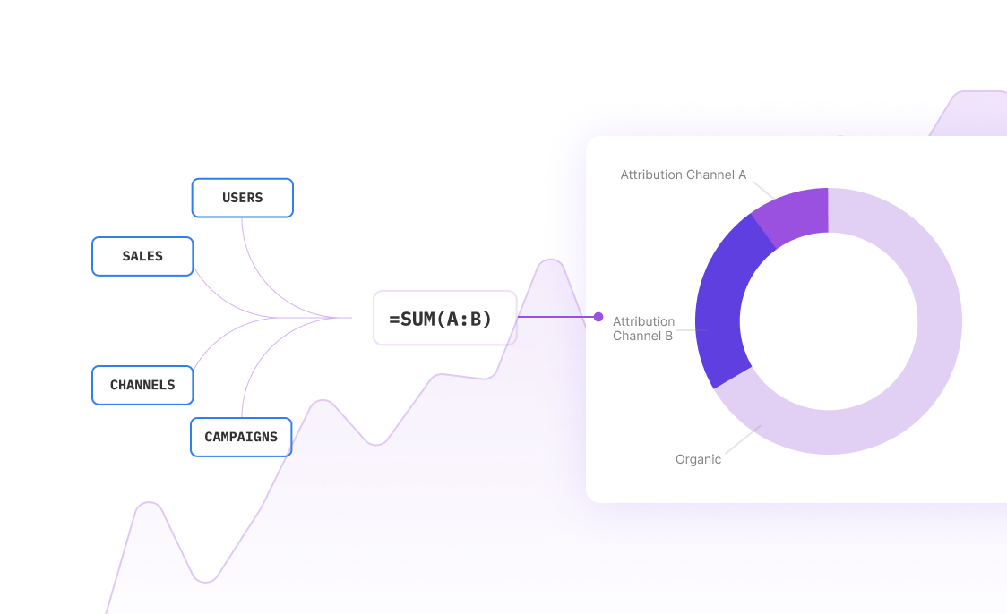
Advanced Urban Planning Analysis Techniques
Beyond basic demographic analysis, Sourcetable enables sophisticated planning methodologies that help you understand complex urban systems.
Gravity Model Analysis
Model the attraction between different areas based on size, distance, and connectivity. Perfect for predicting shopping patterns, commute flows, or service area demand. The AI helps you calibrate model parameters and interpret results.
Land Use-Transportation Interaction Modeling
Analyze the complex feedback loops between development patterns and transportation systems. See how new transit investments influence land values and development intensity, or how zoning changes affect traffic patterns.
Spatial Autocorrelation Analysis
Identify clusters and patterns in your data that might not be obvious from simple mapping. Discover hotspots of development activity, crime patterns, or environmental concerns using Moran's I and other spatial statistics.
Multi-Criteria Decision Analysis
Weight different planning objectives (economic development, environmental protection, social equity) and identify optimal solutions. Especially valuable for site selection, priority setting, and resource allocation decisions.
Frequently Asked Questions
Can Sourcetable handle GIS data and spatial analysis?
Yes! Sourcetable works seamlessly with spatial data exported from GIS systems. You can analyze location-based data, calculate distances, identify spatial patterns, and create location-aware visualizations. While it doesn't replace dedicated GIS software, it excels at statistical analysis of spatial datasets.
How does Sourcetable integrate with planning databases and systems?
Sourcetable connects to most planning databases through CSV exports, Excel files, or direct database connections. It works with data from permit systems, assessment databases, census APIs, and transportation data platforms. The AI helps clean and standardize data from multiple sources automatically.
Is it suitable for both small town and large metropolitan planning?
Absolutely. Sourcetable scales from analyzing single neighborhoods to metropolitan regions. Small towns benefit from simplified data analysis and professional visualizations, while large metros can handle complex multi-jurisdictional datasets and sophisticated modeling.
Can I model different development scenarios and compare outcomes?
Yes, scenario modeling is one of Sourcetable's strengths. You can create multiple 'what-if' scenarios by adjusting key variables (population growth, zoning changes, infrastructure investments) and immediately see the impact on metrics like traffic, housing demand, or fiscal impact.
How does the AI understand urban planning concepts and terminology?
Sourcetable's AI is trained on planning concepts like land use intensity, accessibility, urban form, and development patterns. It understands planning jargon and can suggest relevant analyses based on your data and questions. It's like having a planning consultant built into your spreadsheet.
Can I create presentations and reports for public meetings?
Definitely. Sourcetable generates professional charts, maps, and dashboards perfect for city council meetings, public hearings, and stakeholder presentations. You can export to PowerPoint, PDF, or share interactive dashboards that update in real-time.
What about data privacy and security for sensitive planning data?
Sourcetable takes data security seriously with enterprise-grade encryption, secure data processing, and compliance with privacy regulations. Your planning data stays protected while giving you the analytical power you need.
Do I need technical skills to perform complex planning analysis?
No technical background required. You can ask questions in plain English like 'Show me areas with high development potential' or 'Compare transit ridership before and after the new route.' The AI translates your questions into sophisticated analysis automatically.


Frequently Asked Questions
If your question is not covered here, you can contact our team.
Contact UsHow do I analyze data?
What data sources are supported?
What data science tools are available?
Can I analyze spreadsheets with multiple tabs?
Can I generate data visualizations?
What is the maximum file size?
Is this free?
Is there a discount for students, professors, or teachers?
Is Sourcetable programmable?
Transform Your Urban Planning Analysis Today
Join planning professionals who've revolutionized their data analysis workflow with AI-powered insights and streamlined collaboration.