Overview
As the digital world continues to evolve, the integration and analysis of geographical data have become pivotal for businesses worldwide. Google Maps data, rich with location intelligence, holds the key to unlocking insights that can propel strategic decisions and optimize operational efficiency. ETL (Extract, Transform, Load) processes play a crucial role in harnessing this data, especially when maneuvering vast datasets into a spreadsheet for comprehensive analysis. By transferring, cleansing, and restructuring Google Maps data, ETL enables organizations to store legacy information, aggregate data for analysis, and drive forward-thinking business decisions. On this page, we will delve into the intricacies of Google Maps, explore the ETL tools specifically tailored for Google Maps data, examine the diverse use cases for ETL in this context, and introduce Sourcetable as an alternative to traditional ETL methods. Additionally, we will provide a Q&A section to address common inquiries about executing ETL procedures with Google Maps data.
What Is Google Maps?
Google Maps is a navigation app developed by Google, based in Mountain View, California. As a web service, it provides detailed information about geographical regions and sites worldwide. The app is renowned for its real-time GPS navigation, traffic, and transit information, catering to various modes of transportation such as driving, biking, walking, and public transportation through its route planner feature.
Available in over 220 countries and territories, Google Maps offers a range of map views, including conventional road maps, aerial, satellite, and even street views in some cities. Its extensive database also covers celestial bodies, providing images of the moon, Mars, and the heavens, catering to hobby astronomers. Users can search for places to eat and things to do, create lists of places to visit, and enjoy the convenience of indoor maps for large venues like airports, malls, and stadiums.
Google Maps is designed to function across various platforms, including integration with Wear OS devices, and can be embedded into proprietary sites using the Google Maps API. Despite its wide availability, some features are not accessible in all countries. The service ensures user privacy with an incognito mode and secures data with encryption during transit. However, it does collect location and personal information, which is a consideration for users with privacy concerns.
For offline use, Google Maps provides the ability to download maps, enabling search and navigation without an internet connection. Additionally, the service includes street view and indoor imagery for places like restaurants, shops, and museums to enhance the user experience. Google Maps is also equipped with a safety feature to restrict usage by oversized or emergency vehicles, ensuring the app's responsible use.
ETL Tools for Google Maps
Google Cloud offers a suite of services designed to facilitate the ETL (Extract, Transform, Load) process, which are essential for integrating with Google Maps. These services include Cloud Data Fusion, Dataflow, and Dataproc, each providing unique capabilities to streamline data operations.
Cloud Data Fusion stands out as a fully managed, cloud-native data integration service. It empowers users to efficiently construct and administer both ETL and ELT (Extract, Load, Transform) data pipelines, thereby enhancing the data integration process with Google Maps.
Dataproc is another pivotal service that optimizes open source data and analytics processing. It offers a fast, easy, and secure method to handle data in the cloud, making it a valuable tool for Google Maps data processing tasks.
Maximize Efficiency with Sourcetable for Google Maps ETL
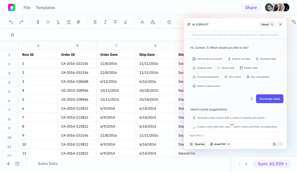
Integrating Google Maps data into your workflow can be a complex process, especially when considering the development time and resources required for using a third party ETL tool or building a custom ETL solution. Sourcetable offers a streamlined alternative that not only simplifies the ETL process but also enhances it with its spreadsheet-like interface. By leveraging Sourcetable, you can effortlessly extract, transform, and load data from Google Maps, saving time and reducing the need for specialized technical knowledge.
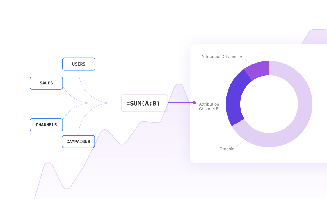
Sourcetable syncs your live data from various applications, including Google Maps, into one intuitive platform. This automatic synchronization eliminates the manual effort typically associated with data aggregation. Moreover, its user-friendly spreadsheet interface allows you to query and manipulate data with ease, making it an ideal solution for both automation and business intelligence. With Sourcetable, you can focus on deriving insights and making informed decisions, rather than getting bogged down by the intricacies of data integration.
Common Use Cases
-
Storing legacy travel and map dataG
-
Preparing marketing data related to location and travel timesG
-
Analyzing data from multiple IoT sources with location informationG
-
Running cloud migrations involving geographic dataG
Frequently Asked Questions
What does ETL stand for and what is its purpose in Google Maps?
ETL stands for Extract, Transform, and Load. It's a traditional method used to combine data from multiple systems, which in the context of Google Maps, can be used to store legacy data, aggregate data for analysis, and move data from multiple IoT sources to a single place for analysis.
What are some of the ETL services offered by Google Cloud for Google Maps?
Google Cloud offers several ETL services, including Cloud Data Fusion, a fully managed data integration service; Dataflow, a serverless service for data processing; and Dataproc, a service for processing open source data and analytics.
Why is data warehousing important in the context of ETL?
Data warehousing is important because it allows analysts to work more efficiently, get more in-depth insights, and spot patterns across different datasets. ETL is used to transfer data from multiple sources to a single data warehouse.
What is the role of an ETL developer?
An ETL developer is responsible for designing data storage systems for business intelligence. They manage the process of moving data through extraction, transformation, loading, and analysis stages.
Why should ETL testing be performed regularly?
ETL testing should be performed regularly to ensure that data arrives in the analytics warehouse smoothly and accurately. It involves reviewing primary sources, verifying the data's transformation, and checking that the warehouse accurately reports cases of invalid data.
Conclusion
ETL tools are indispensable in harnessing the full potential of Google Maps, offering myriad benefits ranging from simplifying data migration with tools like Daton, to reducing delivery times and expenses. They facilitate complex processes through automation, ensure data integrity, and enhance security with services like Google Cloud's Data Fusion, Dataflow, and Dataproc. Implementing ETL processes not only improves data quality and management but also adeptly handles big data challenges, making data migration transparent, repeatable, and efficient. However, for those seeking to streamline their ETL processes further into spreadsheets, Sourcetable presents an even more accessible solution. Sign up for Sourcetable to get started and transform the way you manage your ETL needs.


