Overview
Welcome to the comprehensive guide on leveraging ETL (Extract, Transform, Load) tools for Google geocode drive distance data. Understanding the nuances of travel, mapping, and GPS-related applications is crucial, and ETL plays a vital role in harnessing the power of Google's Distance Matrix API efficiently. By employing ETL processes, you can not only ensure the accurate calculation of distances and durations between geographical points but also maintain the spatial relationships necessary for insightful data analysis. Furthermore, ETL facilitates the management of geographic data, allowing for the use of the familiar Pandas API through libraries like shapely and geopandas. This makes it simpler to integrate Google maps data into your applications cost-effectively and at scale. On this page, we'll delve into what Google geocode drive distance entails, explore the ETL tools tailored for this data, and discuss various use cases that demonstrate the practicality of ETL in managing drive distance data. We will also introduce Sourcetable, an alternative to traditional ETL methods, and provide a Q&A section to address common inquiries on performing ETL with Google geocode drive distance data. Whether you're looking to integrate this data into a spreadsheet or build a robust travel application, our insights will equip you with the knowledge to streamline your data workflow effectively.
What is Google Geocode Drive Distance?
Google Geocode Drive Distance is a service known as the Distance Matrix API or Routes API. It is designed to determine the most efficient travel routes between multiple origins and destinations for a given travel mode. The API processes HTTPS requests containing this information and provides the resulting data without offering route directions.
This service is capable of returning distance and travel time data for various modes of transport, including driving, biking, transit, and walking. With its ability to handle a matrix of origins and destinations, the Distance Matrix API can return the recommended route's travel distance and duration, measured in either kilometers or miles, and can also provide estimated travel times based on current traffic conditions.
The Distance Matrix API is versatile, working with different types of location identifiers, such as place IDs, addresses, or latitude/longitude coordinates. It is an essential tool for developers looking to integrate travel distance and time calculations into their applications, starting by setting up a project on Google Cloud.
ETL Tools for Google Geocode Drive Distance
The Google Distance Matrix API serves as an invaluable data source for applications centered around travel, mapping, and GPS functionalities. It provides detailed information regarding the distance and travel duration between two locations, making it an essential component for any location-based service or application.
Not only is the Google Distance Matrix API cost-effective, but it also offers scalability to accommodate the growth of applications as they expand in usage and complexity. This makes it a preferred choice for developers who need to maintain economic efficiency while scaling their services.
Moreover, the API includes capabilities for estimating delays due to traffic, offering a more accurate and dynamic user experience by accounting for real-time road conditions. This feature is particularly useful for apps that require precise timing and routing adjustments.
When it comes to an ETL (Extract, Transform, Load) tool that works effectively with the Google Distance Matrix API, Geopandas stands out. Geopandas extends the familiar Pandas API, which is widely recognized for its ease of use in data manipulation, to handle geographic data seamlessly. This integration allows developers to manage and process geospatial information efficiently, leveraging the robustness of the Pandas ecosystem.
Geopandas not only simplifies the ETL processes for geographic data but also enhances the capability to analyze and visualize this data within the same workflow. This makes it an excellent tool for developers who require a powerful yet intuitive approach to working with the Google Distance Matrix API and its associated geocode drive distance data.
Streamline Your Data Workflow with Sourcetable
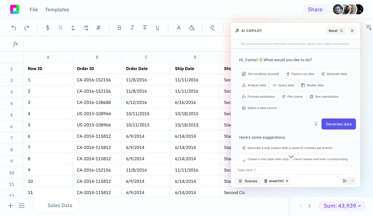
Utilizing Sourcetable for your ETL processes, particularly with data from Google Geocode and Drive Distance, can significantly streamline your workflow. By choosing Sourcetable, you eliminate the complexity that comes with third-party ETL tools or the resource-intensive task of developing an in-house ETL solution. Sourcetable is designed to seamlessly sync with a multitude of apps and databases, extracting data with ease.
One of the primary benefits of using Sourcetable is its ability to simplify the transformation of your data. Without writing a single line of code, you can manipulate and transform your data as it flows from Google services directly into Sourcetable’s spreadsheet-like interface. This not only saves time but also reduces the likelihood of errors that can occur with manual handling.
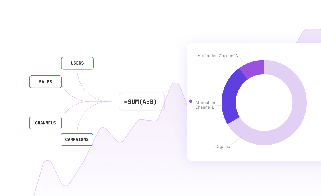
Moreover, Sourcetable excels in automation. Once set up, it can continuously and automatically pull in data, ensuring your spreadsheet always reflects up-to-date information. This is invaluable for business intelligence purposes, where real-time data can lead to more informed decision-making. By leveraging Sourcetable, you gain both a high degree of automation and an intuitive interface, making it an outstanding choice for managing your ETL requirements.
Common Use Cases
-
Creating a travel time matrix for multiple origins and destinationsG
-
Estimating traffic impact on delivery routes and schedulingG
-
Analyzing geographic accessibility for location planningG
-
Comparing alternative routes for cost and time efficiencyG
-
Integrating real-time distance data into logistics softwareG
Frequently Asked Questions
What is the role of ETL tools in managing data from the Google Distance Matrix API?
ETL tools can be used to manage geographic data and spatial relationships obtained from the Google Distance Matrix API, which provides travel distance and time for various origins and destinations.
Can ETL tools handle the traffic slow down estimates from the Google Distance Matrix API?
Yes, ETL tools can manage traffic slow down estimates provided by the Google Distance Matrix API as part of the data transformation process.
How does the Google Distance Matrix API integrate with ETL processes?
The Google Distance Matrix API integrates with ETL processes by providing a scalable and cost-effective source of travel, mapping, and GPS data that can be extracted, transformed, and loaded into a database for various applications.
Are there any performance benefits of using ETL tools with the Google Distance Matrix API?
ETL tools offer performance benefits such as predefined connectors, automatic metadata generation, and the ability to filter and then join data, which can enhance the efficiency of managing data from the Google Distance Matrix API.
Conclusion
Utilizing ETL tools for Google Geocode drive distance enables seamless integration and management of geographical data, ensuring that businesses can scale, handle data transformations, manage errors effectively, and fulfill performance and scalability requirements. The synergy between tools like the Distance Matrix API, requests library, and Geopandas provides a potent combination for handling travel and map-based data, offering capabilities such as traffic slow down estimates and geographic data management. Furthermore, ETL tools come equipped with advanced features like reprojection, spatial and topological transformations, and geocoding, making them indispensable for data-driven decision-making. Instead of navigating the complexities of ETL tools, consider using Sourcetable for a more straightforward and efficient ETL process into spreadsheets. Sign up for Sourcetable to get started and streamline your geocode data management today.


