How To Export Attribute Table To Excel In Excel
Introduction
Exporting an attribute table to Excel is a common task for data analysts and GIS professionals. This process involves transferring data from a spatial database or GIS software into a format that can be easily manipulated in spreadsheets.
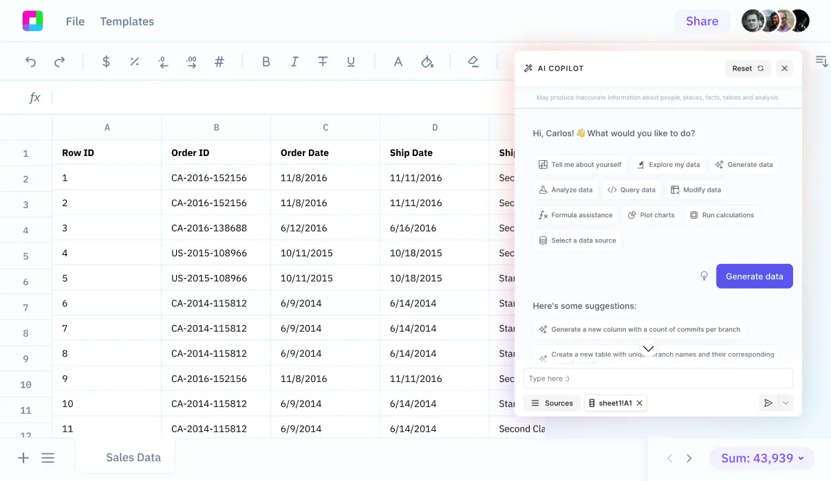
While traditional spreadsheet tools require manual data manipulation and complex formulas, Sourcetable's AI-powered platform allows you to simply upload your attribute tables and interact with a chatbot to analyze, visualize, and transform your data. Experience how Sourcetable can streamline your data workflows by signing up today to get instant answers to any spreadsheet question.
Export Attribute Table to Excel
The Table to Excel tool in ArcMap provides a straightforward method to convert an attribute table to an Excel file. The tool, located within ArcToolbox, exports data directly to an .xls format, suitable for Excel 2007 and later versions.
Using Table to Excel Tool
Access the Table to Excel tool only in ArcMap to transform your attribute table into an .xls file. This tool limits the output to 65,535 rows and 256 columns, aligning with the maximum capacity of the .xls format. To export, simply drag and drop the feature class from the Layers pane to the Input Table section, set your output location and file name, and execute the tool. The Excel file will be created at the specified output location.
Alternative Export Methods
Besides using the dedicated tool, other methods to export attribute tables include copying and pasting records directly into an Excel file or exporting the table to a CSV file and opening it in Excel. These alternatives may be preferred for tables exceeding the .xls file limitations or for streamlining the workflow.
Understanding How to Export Attribute Tables to Excel: Why It Matters
Converting attribute tables to Excel format enables broader data analysis and sharing capabilities. GIS professionals and analysts regularly need to manipulate spatial data outside their GIS software. Exporting to Excel allows for enhanced data visualization, statistical analysis, and report generation.
Practical Applications
Excel's familiar interface makes it easier for non-GIS users to work with spatial data. Teams can collaborate more effectively when data is in a universally accessible format. The spreadsheet format also facilitates data cleaning, validation, and updating before reimporting to GIS software.
Business Benefits
Organizations save time and resources by leveraging Excel's powerful analytical tools. Decision-makers can better understand spatial data when presented in spreadsheet format. The ability to export attribute tables streamlines workflows between GIS and business intelligence platforms.
Use Cases: Exporting Attribute Tables to Excel
Generate Reports for Data Analysis
Transform complex GIS attribute data into easily digestible Excel reports. This enables stakeholders to analyze spatial data trends and patterns through familiar spreadsheet tools.
Share Data with Non-GIS Team Members
Export attribute tables to Excel format to seamlessly share geographic data with colleagues who don't have access to GIS software. This democratizes spatial data across the organization and facilitates broader collaboration.
Perform Advanced Data Manipulation
Leverage Excel's powerful functions and formulas to analyze and transform GIS attribute data. Excel's familiar interface allows for quick calculations, pivot tables, and statistical analysis that might be more complex in GIS software.
Create Data Backups and Archives
Maintain comprehensive backups of attribute data in a widely accessible format. Excel files serve as an excellent archival format that ensures data longevity and accessibility.
Integrate with Business Intelligence Tools
Connect GIS data with other business systems by using Excel as an intermediary format. This enables seamless integration with various business intelligence platforms and reporting tools.
Sourcetable vs Excel: The Future of Spreadsheets
Spreadsheets have evolved beyond manual data entry and complex formulas. While Excel requires users to master functions and features, Sourcetable revolutionizes spreadsheet work with its AI-powered interface. Simply chat with Sourcetable's AI to create, analyze, and visualize data effortlessly. Sign up for Sourcetable to experience the future of spreadsheet analysis.
Natural Language Interface
Instead of memorizing Excel formulas and features, Sourcetable lets you interact with your data through simple conversation. Tell the AI what you want to accomplish, and it handles the technical details automatically.
Powerful Data Processing
Upload files of any size or connect your database directly to Sourcetable. The AI assistant helps you analyze complex datasets without writing a single formula or creating pivot tables manually.
Instant Visualization
Create professional charts and visualizations by describing what you want to see. Sourcetable's AI transforms your data into compelling visual stories without requiring chart formatting expertise.
Automated Analysis
Generate insights from your data by asking questions in plain English. Sourcetable's AI performs complex analysis instantly, eliminating the need for manual Excel calculations and formulas.
Frequently Asked Questions
How do I export an attribute table to Excel in ArcGIS Pro?
Open your ArcGIS Pro project, click the Analysis tab, then Tools. In the Geoprocessing pane, search for and select Table To Excel. Select your input table from the drop-down menu, specify the output location and file name, choose .xls or .xlsx format, and click Run.
How do I export an attribute table to Excel in ArcMap?
Open your ArcMap project, navigate to ArcToolbox > Conversion Tools > Excel > Table To Excel. Select your input table from the drop-down list or drag it from the Layers pane, specify the output location and file name, and click OK.
What are the limitations when exporting attribute tables to Excel?
The Table to Excel tool has limitations of 65,535 rows and 256 columns. When exporting to .xls format, the file is limited to 65,536 rows and 256 columns.
Conclusion
Exporting attribute tables to Excel requires multiple steps and specific software knowledge. The process can be time-consuming and complex for new users.
Sourcetable eliminates these complexities by providing an AI-powered solution. Its chatbot instantly answers spreadsheet questions and simplifies data manipulation tasks.
Skip the traditional export process and start using Sourcetable today.


