How To Turn Off Geography In Excel
Introduction
Struggling to manage geographical data in Excel? Turning off geography settings can streamline your data management process.
This guide provides clear, step-by-step instructions on disabling geographical functions in Excel, ensuring your data remains unlinked from automatic geo-encoding.
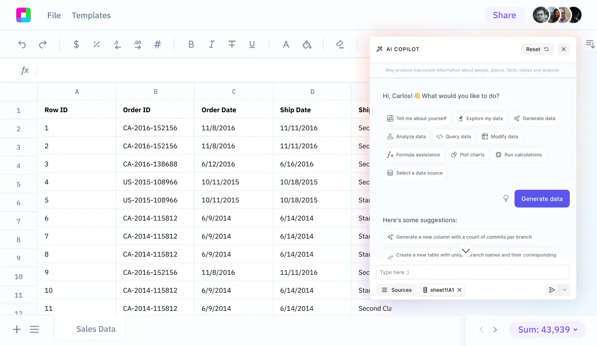
We'll also explore how Sourcetable, an AI-powered spreadsheet platform, lets you handle geographic data simply by chatting with an AI - no complex Excel functions needed. Try Sourcetable to analyze your data effortlessly.
Disable Geography in Excel
Understanding Excel's Automatic Geolocation
Excel is designed to automatically detect and format data types, which can include converting fields into geographic locations. This feature, while helpful in some cases, can lead to the inadvertent formatting of data into an unwanted geolocation format.
Preventing Automatic Conversion to Geolocation
To stop Excel from converting data fields into geolocation formats, use the importing feature. During the import process, select the 'Text' data format for your data. This action prevents Excel from applying the automatic geolocation formatting to your fields.
Manual Adjustment of Data Formats
If your data has already been converted to a geolocation format, manually adjust the data format back to 'Text'. This ensures that Excel treats the information as plain text and not as a geographical entity.
Clearing Existing Geolocation Data
In the case where geolocation data is already present, clear the data to remove any geographic associations. This prevents Excel from using the existing geolocation data for any future automatic formatting.
Use Cases for Disabling Geography in Excel
Prevent Automatic Geographic Data Conversion
Excel's automatic conversion of large numbers into latitude or longitude formats can be problematic when working with numerical data. By turning off geography features, you can ensure your numbers remain in their original format, making it easier to work with scientific notation, financial figures, or other large numerical values.
Maintain Address Data Integrity
When entering addresses or place names into Excel, the software may try to interpret and modify this information. Disabling geography features allows you to keep address data exactly as entered, which is crucial for database management and mailing lists.
Preserve Postal Code Formatting
Excel can sometimes misinterpret postal codes and other numerical identifiers as geographic data. Turning off geography features ensures these codes maintain their intended format, which is essential for accurate data processing and reporting.
Enable Cross-Regional Data Consistency
When sharing Excel files internationally, geographic features can cause inconsistencies in how data is displayed across different regions. Disabling these features ensures your data appears the same way regardless of the user's location settings.
Streamline Data Import Processes
When importing data from external sources, Excel's geographic features can unexpectedly modify entries containing location-related information. Turning off these features allows for clean data imports without unwanted automatic formatting.
Excel vs. Sourcetable: A New Era of Spreadsheets
While Excel has been the traditional spreadsheet tool for decades, Sourcetable represents the next evolution in spreadsheet technology. This AI-powered platform transforms how we work with data by replacing complex functions and manual processes with natural language interactions. Whether you're analyzing data, creating visualizations, or building spreadsheets from scratch, Sourcetable's AI chatbot handles the heavy lifting.
Traditional vs. AI-Powered Approach
Excel relies on manual function inputs and formula knowledge, while Sourcetable lets you simply describe what you want to achieve through conversation with its AI chatbot. This eliminates the learning curve associated with spreadsheet functions and formulas.
Data Handling and Analysis
Sourcetable accepts files of any size and connects directly to databases, allowing you to perform complex analyses through simple chat commands. Excel requires manual data manipulation and has size limitations that can restrict large-scale analysis.
Visualization and Reporting
Instead of manually creating charts and selecting data ranges in Excel, Sourcetable's AI can instantly generate stunning visualizations based on your verbal requests, making data presentation effortless and professional.
Getting Started Made Simple
While Excel requires extensive training to master, Sourcetable transforms spreadsheet work into natural conversations. Ready to experience the future of spreadsheets? Sign up for Sourcetable and start getting answers to any spreadsheet question instantly.
Frequently Asked Questions
Why does Excel keep suggesting to convert my data to geography?
Excel suggests converting data to geography when it detects text that appears to be geographic locations like countries, states, or cities, even if the data is actually something else like last names.
Which versions of Excel have the Geography data type feature?
The Geography data type is only available in Excel for Microsoft 365, Excel for Microsoft 365 for Mac, and Excel for the web.
What languages support the Geography data type in Excel?
The Geography data type requires English, French, German, Italian, Spanish, or Portuguese to be added to Office Language Preferences.
Conclusion
Turning off geography features in Excel requires multiple steps and can be confusing for many users.
Sourcetable eliminates this complexity. Its AI chatbot instantly answers Excel questions and helps you create spreadsheets without dealing with complex settings.
Learn how to solve any spreadsheet challenge by visiting Sourcetable today.


