How To Remove Geography In Excel
Introduction
Removing geographic data in Excel can be a nuanced task, often required for data analysis or privacy concerns. This guide offers clear, step-by-step instructions on how to declutter your spreadsheets by eliminating unnecessary geographic information.
Traditional Excel methods for handling geographic data can be tedious and time-consuming, requiring knowledge of specific functions and features.
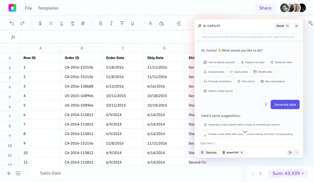
We'll also explore how Sourcetable's AI chatbot can instantly analyze, clean, and transform your geographic data through simple conversation - try Sourcetable now to streamline your spreadsheet tasks.
Removing Geography Data in Excel
Disabling Convert to Geography Feature
To prevent the automatic conversion of data into geographic formats, disable the "Convert to Geography" feature. This will eliminate the chance of accidental conversion through the "Convert to Geography" icon.
Handling Automatic Data Formatting
Excel’s tendency to automatically detect and convert data into geographic locations can be problematic. It may incorrectly format large numbers as latitude or longitude or misinterpret addresses and place names, leading to unwanted geolocation formatting.
Removing Hidden Geographic Information
Excel for Microsoft 365 users can utilize built-in tools to remove hidden data and personal information, which may include geographic data inadvertently cached or embedded within spreadsheets.
Preventing Unintended Geography Identification
Be aware that Excel may erroneously suggest certain fields are geographical when they are not. To counteract this, ensure your data is formatted and labeled clearly to avoid automatic geography conversions.
Clearing Embedded Geography Data
Inspect your workbook to remove any invisible content including hidden geographic data attached through features like Excel Survey questions, Scenario Manager, and Filters. This cleanup helps prevent the retention of unwanted cached geographic information.
Why Learn How to Remove Geography in Excel?
Knowing how to remove geography in Excel helps maintain data quality and prepare spreadsheets for analysis. Geographic data can interfere with sorting, filtering, and data processing operations.
Removing geographic information streamlines visualization processes and reduces file size. Clean data without geographic components enables faster calculations and more efficient spreadsheet performance.
This skill is particularly valuable for data analysts who need to standardize datasets from multiple sources. Understanding geographic data removal techniques helps prevent formatting conflicts and ensures data consistency across workbooks.
Key Use Cases for Geography Removal in Excel
Statistical Analysis with Clean Data
Removing geographic data enables you to perform statistical analysis without location-based biases. This ensures your findings are based purely on the core variables you're studying, leading to more accurate and focused insights.
Mailing List Management and Optimization
Streamline your mailing lists by removing redundant geographical information. This makes the data more manageable and reduces errors in contact management systems.
Location-Neutral Data Visualization
Create visualizations that focus on key metrics without geographical influence. This approach helps in presenting data patterns that might otherwise be obscured by regional variations.
Address Standardization
Create a uniform format for address information by removing inconsistent geographical elements. This standardization improves data quality and makes information easier to process and analyze.
Data Privacy Protection
Enhance document security by removing location information before sharing data publicly. This crucial step helps maintain confidentiality and complies with data protection regulations.
Excel vs Sourcetable: Traditional vs AI-Powered Spreadsheets
Excel remains the traditional spreadsheet tool for data analysis and manipulation, but Sourcetable introduces an AI-powered alternative that transforms how we work with data. While Excel requires manual formula creation and deep technical knowledge, Sourcetable lets you simply chat with an AI to analyze data, create visualizations, and build spreadsheets from scratch. Try Sourcetable at https://app.sourcetable.com/ to answer any spreadsheet question instantly.
Ease of Use
Excel requires users to master complex functions and features. Sourcetable's AI chatbot eliminates this learning curve by allowing users to describe their analysis needs in plain language.
Data Analysis
Excel demands manual formula creation and data manipulation. Sourcetable's AI automatically analyzes data, generates insights, and creates visualizations based on simple text prompts.
File Handling
Excel has file size limitations and can struggle with large datasets. Sourcetable handles files of any size and connects directly to databases for seamless analysis.
Data Generation
Excel requires manual data entry or imports. Sourcetable can generate sample data sets and create spreadsheets from scratch through AI conversation.
Visualization
Excel needs manual chart configuration and formatting. Sourcetable creates stunning visualizations automatically through natural language requests to its AI.
Frequently Asked Questions
How do I remove the geography data type from cells in Excel?
Select the cells containing geography data and convert them to text by selecting a different data type.
What is the process to fully clean up geography data from Excel?
First identify and select cells with geography data, convert the geography data to text, remove any linked data cards, resolve any resulting errors, and clean up your spreadsheet.
What data types are available when removing geography data in Excel?
Excel only offers 'Stocks' and 'Geography' as data types, and you can convert from one data type to another.
Streamline Geography Data Management with Sourcetable
While removing geographical data in Excel requires complex functions and tedious manual work, Sourcetable's AI chatbot makes it simple. Just upload your data or connect your database to Sourcetable, and tell the AI what you want to do. Sourcetable's AI understands natural language and handles all the complex spreadsheet operations for you, from data cleaning to analysis.
Sourcetable revolutionizes how you work with spreadsheets by eliminating the need to learn complex formulas and features. Whether you need to generate sample data, create stunning visualizations, or perform sophisticated analysis on geographical data, simply tell Sourcetable's AI what you want. The AI chatbot handles files of any size and transforms your data management workflow from tedious manual work to simple conversations.
Ready to experience the future of spreadsheets? Sign up for Sourcetable now and let AI answer any spreadsheet question instantly.


