How To Make A Population Density Map In Excel
Introduction
Learn the step-by-step process of creating a population density map using Excel. This guide provides clear instructions for visualizing demographic data effectively.
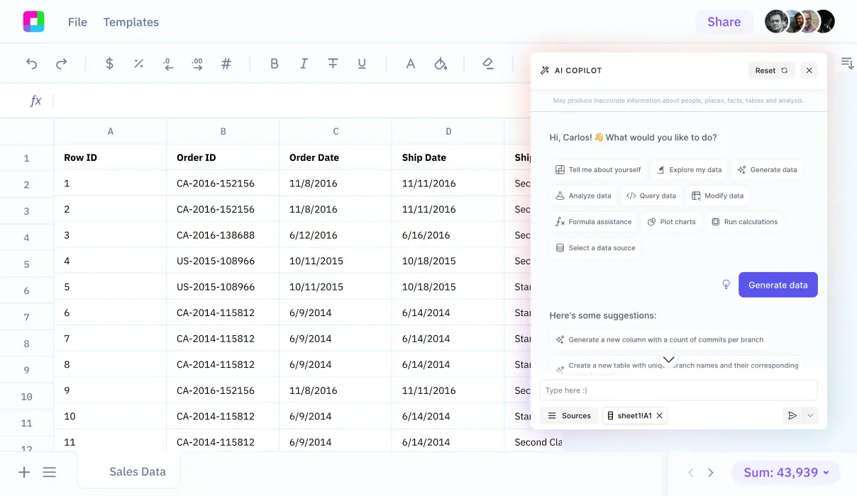
Population density maps require complex data manipulation and visualization techniques in Excel. Instead of wrestling with formulas and features, discover how Sourcetable's AI chatbot can instantly create, analyze, and visualize your demographic data - try Sourcetable now to transform your data into stunning maps with just a simple conversation.
Creating a Population Density Map in Excel
Prerequisites
Ensure you have Excel for Microsoft 365, Excel 2021, or Excel 2019 to create map charts for population density visualization.
Getting Started with Map Charts
Map charts in Excel are ideal for comparing values and showing categories across geographical regions. To begin, compile your geographic data without street addresses or latitude/longitude, as these are not supported.
Utilizing Geography Data Types
Leverage Excel's Geography data types to streamline the creation of map charts. Remember that there may be errors when using this feature for your data.
Creating the Map Chart
Once your data is prepared, create a new map chart while connected to the internet. Insert your data points based on high-level geographic details to visualize population density.
Viewing and Analyzing Map Charts
After creation, you can view and interact with your map chart offline. However, modifying or appending new data requires an online connection.
Advanced Mapping with 3D Maps
For a multi-dimensional display, utilize Excel's 3D Map feature. This is particularly useful for complex datasets that go beyond one-dimensional geographic representation.
Seeking Further Assistance
If you encounter issues with map charts or Geography data types, consider engaging with the Excel Tech Community for support.
Why Learn How to Make a Population Density Map in Excel?
Creating population density maps in Excel provides valuable data visualization capabilities without expensive GIS software. This skill allows businesses, researchers, and urban planners to analyze demographic patterns efficiently.
Practical Applications
Population density maps help identify market opportunities, optimize resource allocation, and support data-driven decision making. These visualizations are essential for real estate development, retail location planning, and public service distribution.
Cost-Effective Solution
Excel's accessibility makes it an ideal tool for creating population density maps on a budget. Most professionals already have Excel skills, reducing the learning curve for creating these visualizations.
Data Analysis Benefits
Understanding how to generate population density maps in Excel enhances data analysis capabilities. This knowledge enables quick identification of population clusters, trends, and patterns across geographic regions.
Population Density Mapping Use Cases
Urban Planning and Development Analysis
By visualizing population distribution patterns, urban planners can make informed decisions about zoning, transportation networks, and public spaces. This data-driven approach ensures more efficient city development that matches population needs.
Strategic Marketing Location Analysis
Businesses can identify prime locations for new stores, services, or advertising by understanding where their target customers are concentrated. Population density maps help optimize marketing spend and maximize customer reach.
Population Trend Monitoring for Policy Development
Government agencies can track demographic shifts and population movements over time. These insights are crucial for developing effective policies and allocating resources to areas experiencing significant population changes.
Infrastructure Planning and Service Distribution
Organizations can determine where to build schools, hospitals, utilities, and other essential services based on population concentration. This ensures resources are allocated where they'll serve the most people efficiently.
Demographic Research and Academic Studies
Researchers can analyze population patterns to study urbanization, migration trends, and social phenomena. These visualizations support academic research and help identify correlations between population density and various socioeconomic factors.
Excel vs. Sourcetable: Traditional Spreadsheets Meet AI
Excel has been the go-to spreadsheet tool for decades, but Sourcetable represents the next evolution in data analysis. While Excel relies on manual functions and formulas, Sourcetable is an AI-powered spreadsheet that lets you create, analyze, and visualize data through simple conversation. Whether you're working with uploaded files or connected databases, Sourcetable's AI chatbot handles the complex work for you. Ready to transform your spreadsheet experience? Sign up for Sourcetable to get instant answers to any spreadsheet question.
Ease of Use
Excel requires users to learn complex functions and formulas, while Sourcetable lets you simply tell its AI chatbot what you want to accomplish in plain language.
Data Analysis Capabilities
Excel's analysis tools demand manual setup and formula knowledge. Sourcetable's AI automatically performs any analysis you request through natural conversation.
Visualization and Reporting
Instead of manually creating charts in Excel, Sourcetable's AI instantly generates stunning visualizations based on your verbal requests.
Data Processing
Sourcetable handles files of any size and connects directly to databases, eliminating Excel's size limitations and manual import processes.
Frequently Asked Questions
How do I create a basic population density map in Excel?
1. Paste your data set into Excel 2. Select the columns to include 3. Click the Insert tab 4. In the Charts group, select Maps 5. Click Filled Map in the drop-down menu
What types of geographic regions can I map in Excel?
Excel map charts can display geographical regions including countries/regions, states, counties, and postal codes
How does Excel display values and categories on map charts?
Map charts display values using two to three color variations, while categories are shown using different colors
How do I prepare my geographic data for mapping in Excel?
Input your list of geographic values into Excel, select the list, then go to Data > Data Types > Geography. Excel will convert the data to a geography data type with properties for map display
Conclusion
Creating population density maps in Excel requires multiple data preparation steps and complex formulas. Even experienced Excel users can find this process challenging and time-consuming.
Modern AI-powered tools simplify this process. Sourcetable's chatbot can instantly guide you through map creation, data formatting, and visualization steps.
Skip the manual work and create professional population density maps faster with Sourcetable today.


