How To Create A Google Map With Excel Data In Excel
Introduction
Creating a Google Map from Excel data enables users to visualize geographic datasets, enhancing interpretation and decision-making. This process involves preparing data in Excel, importing it into Google Maps, and customizing the map to suit specific requirements.
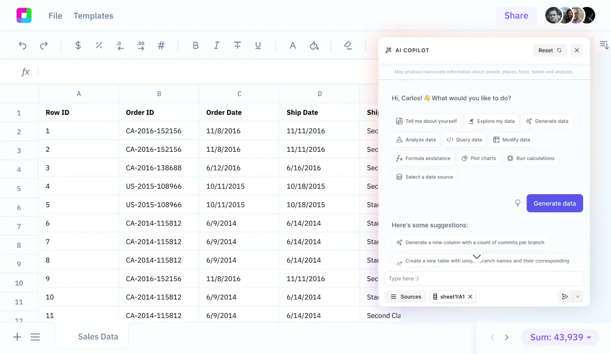
Efficiency is key when handling large datasets or performing frequent updates. Instead of dealing with complex Excel functions and tedious manual processes, Sourcetable's AI chatbot can handle data analysis, visualization, and mapping tasks through simple conversation.
In the following sections, we'll explore the step-by-step process of creating a map from Excel data and show how Sourcetable's AI-powered platform lets you transform your data into maps by simply telling it what you want to create - try it yourself at https://app.sourcetable.com/.
Create a Google Map with Excel Data
Preparing Your Excel Spreadsheet
Begin by organizing your Excel spreadsheet data into five columns: Name, Address, Latitude, Longitude, and Notes. Ensure each row contains either an Address or a combination of Latitude and Longitude coordinates.
Using Google My Maps
Access Google My Maps with your Google Account to import your prepared Excel data. Google My Maps allows for custom map creation without programming skills, enabling data visualization directly from your spreadsheet.
Importing Data to Google My Maps
On Google My Maps, select 'Create a new map' and use the import feature to upload your Excel file. This step allows you to visualize your spreadsheet data on a custom map.
Customizing and Sharing Your Map
Customize your map's style to enhance visualization. You can then share or embed the created map for broader access.
Considerations for Geocoding
Note that the Google Maps Geocode API is not free and requires an API key, billing enabled, and adheres to a limit of 2500 records per day. The Awesome Table plugin for Google Sheets can be used for geocoding within Google Sheets, circumventing the direct use of the Geocode API in Excel.
Use Cases for Google Maps with Excel Data
Visualize Customer Distribution for Marketing
Create targeted marketing campaigns by plotting customer locations on a map. This visual representation helps identify geographic clusters and patterns, enabling more effective regional marketing strategies and resource allocation.
Map Real Estate Portfolio
Real estate agencies can plot their entire property inventory on an interactive map. This allows agents and clients to see property locations at a glance and understand neighborhood contexts more effectively.
Optimize Delivery Routes
Logistics companies can map their delivery points to optimize route planning. This visualization helps dispatchers plan more efficient routes and manage delivery schedules more effectively.
Analyze Geographic Sales Performance
Businesses can map sales data to identify high-performing regions and potential expansion opportunities. This geographic analysis helps in making data-driven decisions about new store locations and market penetration strategies.
Plan City-Wide Events
Event organizers can map multiple venue locations for large-scale events or festivals. This helps in coordinating logistics, communicating locations to attendees, and ensuring proper distribution of events across a city.
Excel vs. Sourcetable: A New Era of Spreadsheets
While Excel relies on manual functions and complex formulas, Sourcetable revolutionizes spreadsheet work through AI-powered natural language interactions. Simply tell Sourcetable what you want to accomplish, and its advanced AI handles the heavy lifting for you. Experience the future of data analysis by signing up for Sourcetable to solve any spreadsheet challenge instantly.
Natural Language Interface vs. Manual Functions
Sourcetable's AI chatbot understands plain English commands to create spreadsheets, analyze data, and generate visualizations. Excel requires users to know specific functions and formulas to accomplish these tasks.
Data Processing Capabilities
Sourcetable handles files of any size and connects directly to databases for seamless analysis. Excel often struggles with large datasets and requires multiple steps for database connections.
Analysis and Visualization
Simply describe the analysis or chart you want, and Sourcetable's AI generates it instantly. Excel demands manual chart creation and complex formula writing for analysis.
Sample Data Generation
Sourcetable can generate sample datasets on demand through simple chat commands. Excel provides no built-in capability for creating sample data sets.
Frequently Asked Questions
How do I format my Excel spreadsheet to create a Google Map?
Organize your spreadsheet with 5 columns: Name, Address, Latitude, Longitude, and Notes. Each row must contain either an Address or both Latitude and Longitude coordinates.
What file format do I need to use to create a Google Map from Excel data?
Export your Excel spreadsheet as a CSV (Comma Separated Values) file, which is a universal spreadsheet format that can be used to create maps.
What platforms can I use to create a Google Map from Excel data?
You can use either Google My Maps or Atlist. Both platforms allow you to import CSV files and customize map styles, markers, and layers.
Conclusion
Creating Google Maps from Excel data can be complex and time-consuming. The process requires careful data formatting, API integration, and coding knowledge.
Sourcetable eliminates these challenges. Its AI-powered chatbot guides you through data visualization tasks instantly. You can create maps and analyze location data without coding or complex spreadsheet formulas.
Start mapping your Excel data effortlessly with Sourcetable today.


