

Export Kmz to CSV

Introduction
Exporting data from a KMZ file to CSV can streamline your workflow, making it easier to handle and share spatial data. This guide will walk you through the step-by-step process, ensuring accurate data conversion for your projects.
Understanding the conversion process is crucial for maintaining data integrity and usability. By following these steps, you'll efficiently transform your KMZ data into a more accessible CSV format.
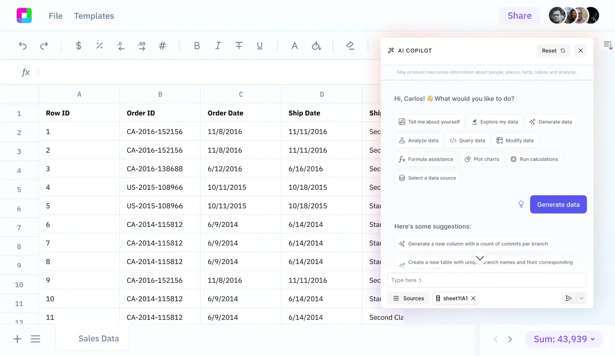
We'll also explore how Sourcetable lets you analyze your exported data with AI in a simple to use spreadsheet.
Exporting Data to CSV Format from KMZ
KMZ is a file format used by Google Earth and GPS devices for storing geographic data. For various applications, you might need to convert KMZ files to CSV format, which is widely supported by MS Excel, LibreOffice, and OpenOffice. MyGeodata Converter provides a reliable solution for this conversion.
Using MyGeodata Converter
MyGeodata Converter supports converting KMZ files to CSV format. The conversion process involves uploading your KMZ file to the converter, which then processes the file and generates a CSV output that you can download. This service supports both individual and batch conversions, making it efficient for handling multiple files.
Supported Formats and Systems
MyGeodata Converter supports over 90 other vector and raster GIS/CAD formats, ensuring compatibility with a wide range of geographic data. Additionally, the converter supports more than 3,000 coordinate reference systems. This broad support ensures that your spatial data remains accurate and consistent through the conversion process.
File Packaging and Limits
For convenience, MyGeodata Converter allows users to upload files packed in ZIP, RAR, 7Z, TAR, and GZIP formats. This feature is particularly useful for managing large data sets. The service offers a free plan with conversion limits; exceeding these limits requires payment.
Steps to Export Data from Google Earth
To export data from a KMZ file, start by opening Google Earth. Locate the folder or item you wish to export in the left sidebar, right-click on it, and select "Save As . . .". In the dialogue box that appears, choose the file type (.kml or .kmz) and specify the location where you want to save the file. Finally, click Save.
Converting KMZ to CSV
To convert a KMZ file to CSV format using MyGeodata Converter, upload your KMZ file to the converter platform. The tool will process the file and convert it to the CSV format. Once the conversion is complete, you can download the converted CSV file for use in applications like MS Excel, LibreOffice, and OpenOffice.
How to Export KMZ to CSV
Using MyGeodata Converter
To export your data from KMZ to CSV, use the online service MyGeodata Converter. This converter is fast, easy to use, and supports individual and batch conversions.
Steps to Convert KMZ to CSV
The process to convert KMZ to CSV is straightforward. First, upload your KMZ file to MyGeodata Converter. Next, the converter will process and transform your file into CSV format. Finally, download your converted CSV file.
Supported Formats and Additional Features
MyGeodata Converter supports over 90 vector and raster GIS/CAD formats, as well as more than 3,000 coordinate reference systems. Users can pack files in ZIP, RAR, 7Z, TAR, and GZIP formats. Additionally, the converter allows users to convert directory-based formats.
Payment Options
MyGeodata Converter offers a free plan with limits on the number of conversions. Users can pay for additional conversions by credit card or register for a prepaid plan to receive more conversion allowances.
Use Cases for KMZ Files
Google Earth and Google Maps Integration
KMZ files are widely used in Google Earth and Google Maps to display geographical information. Because they maintain all geospatial information of the original KML files, they offer a seamless way to integrate comprehensive location data with these tools.
Sharing and Storage
KMZ files can be easily emailed and stored, facilitating the distribution and long-term storage of geospatial data. Their compressed format makes them more efficient to share and store compared to uncompressed KML files.
Planned Concert Tours
KMZ files can be used to show planned concert tours on Google Earth. The files can integrate tour schedules and locations, providing a visual representation of the tour itinerary. This makes it easier for fans and organizers to see tour plans plotted on a map.
Online Viewing and Editing
KMZ files can be viewed and edited online. This makes them ideal for collaborative projects involving 3D models, where users may want to explore, edit, and share their files easily over the internet.
Efficient Geospatial Data Management
KMZ files are a compressed version of KML files, reducing the data size while maintaining all geospatial information. This makes them efficient for managing and transmitting geographic information system (GIS) data.
Standard ZIP Utility Compatibility
KMZ files are created using the standard ZIP algorithm and can be uncompressed with any standard ZIP utility. This ensures compatibility across various platforms and systems, making it convenient to access and modify KMZ files.
Geospatial Data Formats
KMZ files store geospatial data as vectors or rasters, making them versatile for various types of geospatial information. They behave like standard KML files but offer the added benefits of compression and efficient data handling.
Why Choose Sourcetable Over KMZ?
Sourcetable seamlessly integrates data from multiple sources into a single, unified spreadsheet interface. This makes it easier to query and manipulate your data, unlike KMZ which has limitations in data sourcing and real-time updates.
With Sourcetable, you can extract real-time data directly from your databases and work with it immediately. This minimizes delays and enhances productivity, providing a significant advantage over KMZ which does not offer real-time data querying capabilities.
The spreadsheet-like interface of Sourcetable is intuitive and familiar, making data manipulation straightforward. KMZ lacks this user-friendly interface, requiring additional steps to manage and interpret data effectively.
Overall, Sourcetable empowers you with a more dynamic and interactive data management experience, setting it apart as a superior alternative to KMZ.

Frequently Asked Questions
What is the first step to convert a KMZ file to CSV using MyGeodata Converter?
The first step is to upload your KMZ file to the MyGeodata Converter online tool.
How do I convert a KMZ file to CSV after uploading it to MyGeodata Converter?
After uploading your KMZ file, you need to click on the conversion button to start the process.
Can MyGeodata Converter handle multiple KMZ files at once?
Yes, MyGeodata Converter supports batch conversions, allowing you to convert multiple KMZ files at once.
What formats do MyGeodata Converter support?
MyGeodata Converter supports more than 90 vector and raster GIS/CAD formats and over 3,000 coordinate reference systems.
Can I download the converted CSV file from MyGeodata Converter?
Yes, once the conversion is complete, you can download the converted CSV file.
Conclusion
Exporting data from KMZ to CSV can enhance your data analysis capabilities. Follow the steps to ensure a smooth conversion.
Understanding this process will help you manage your data more effectively.
Sign up for Sourcetable to analyze your exported CSV data with AI in a simple to use spreadsheet.
Start working with Live Data
Al is here to help. Leverage the latest models to
analyze spreadsheets, enrich data, and create reports.