

Export Google Earth to CSV

Introduction
Exporting data from Google Earth to CSV format allows for more versatile data analysis and sharing. This guide will walk you through the steps to effectively convert your geospatial information into CSV files.
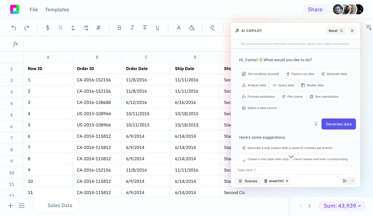
Once exported, you'll find that Sourcetable provides a powerful and intuitive way to analyze your data using AI within a simple spreadsheet interface.
Exporting Data to CSV Format from Google Earth
Overview
Exporting Google Earth data to CSV provides valuable insights for various applications. CSV files can be loaded into spreadsheet software, allowing for efficient analysis, visualization, and manipulation of location data.
Initial Steps
To export your data from Google Earth to CSV, users must first export their custom map to a KML file. This is a necessary step before converting the data to CSV format.
Conversion Process
Once the data is in KML format, users must utilize a third-party converter to convert the KML file to CSV. Users can either download and install a third-party converter or use online tools for this purpose. Alternatively, GIS software is recommended for converting KML to CSV as it allows for more sophisticated selections.
Selection of Placemarks
Users can select multiple placemarks to export by holding down the shift or ctrl key and clicking in MyPlaces/list view. This facilitates the inclusion of multiple data points in the export process.
Use of Google Cloud Storage
Google Cloud Storage can be used to export data from Google Earth Engine. It should be noted that this service is fee-based.
Additional Tools
There are various programs available that can convert KML files to CSV or TXT. These tools include XML conversion tools such as XSLT. Additionally, users can open KML files in text editors or use Excel, which can convert KML to CSV by opening the file and saving it in the desired format.
Summary
By following the outlined steps and using appropriate conversion tools, users can effectively export data from Google Earth to CSV format. This enables better analysis and sharing of geographic data for a wide range of applications.
How to Export Your Data to CSV Format from Google Earth
Using Google Earth Pro and KML Files
To export data from Google Earth Pro to CSV, start by saving your file in KML format. Ensure you save the file as a .kml file and not as a .kmz file. KML files are XML-based and can be converted to CSV using various methods.
Converting KML to CSV with a Text Editor and Excel
Rename your saved .kml file to .xml. Open this renamed .xml file with Microsoft Excel. Excel can import XML files directly, making it easy to convert KML data to a spreadsheet. Once opened, save the spreadsheet as a CSV file.
Using XSLT Stylesheets
Another method to convert KML to CSV is by using XSLT stylesheets. Since KML is XML, any XML tool, including XSLT, can transform KML data into CSV format. This method requires applying the appropriate stylesheet to your KML file for conversion.
Exporting Table Data from Google Earth Engine
Exporting table data from Google Earth Engine can be done using the Export.table function. This function allows exporting to various formats, including CSV. Note that the FeatureCollection must have null geometry to be exported as CSV, and geographic information will not be included.
Ensure that the column names in your collection are 10 characters or fewer and do not create duplicates. You can export the collection to your Google Drive, Cloud storage, or as an Earth Engine asset.
Use Cases Unlocked by Knowing Information about Google Earth
Global Forest Monitoring
Google Earth Engine empowers teams like Global Forest Watch and the University of Maryland to monitor global forest cover change. The platform enables visualization and measurement of tree cover extent, loss, and gain over decades, aiding conservation efforts and policy-making.
Wildlife Conservation
With Google Earth, initiatives such as the Map of Life and tiger habitat monitoring benefit immensely. These tools allow conservators and researchers to analyze habitat ranges, assess species security, and track changes in critical endangered wild tiger habitats, ensuring better wildlife protection and management.
Public Health
Google Earth Engine is pivotal in predicting disease outbreaks, exemplified by the work of the Global Health Group at UCSF in malaria risk mapping. By analyzing geospatial data, scientists can forecast outbreaks and mitigate the impacts, enhancing public health responses.
Environmental Change Detection
Google Earth tools facilitate the detection and analysis of environmental changes. For instance, the European Commission's JRC uses Earth Engine to create high-resolution maps of global surface water dynamics, helping understand and manage water resources effectively.
Education Enhancement
Google Earth is a valuable educational tool. It allows students to explore architecture, measure receding glaciers, analyze habitats, visualize 3D maps, and create their own projects, thereby enhancing learning through interactive and practical experiences.
Urban Planning
Urban planners leverage Google Earth to evaluate building and solar design options, identify project locations, and generate designs efficiently. The tool supports data-driven decision-making, performance metric evaluations, and seamless collaboration, leading to sustainable urban development.
Land Use and Deforestation Assessment
Collect Earth, developed by FAO, utilizes Google Earth to visualize and analyze land plots. This application helps in assessing deforestation and other land-use changes, supporting environmental conservation and sustainable land management policies.
3D Terrain and Building Exploration
Google Earth allows users to explore 3D terrain and buildings in hundreds of cities. This functionality is crucial for both individuals and professionals looking to understand geographical layouts, plan travel, or conduct detailed urban studies.
Why Choose Sourcetable Over Google Earth
Sourcetable is an innovative alternative to Google Earth, designed to simplify and enhance your data management and analysis workflows. While Google Earth specializes in geographical visualization, Sourcetable excels in aggregating data from multiple sources for real-time querying and manipulation.
Designed as a robust spreadsheet interface, Sourcetable collects all your data in one central location, enabling you to interact with your database effortlessly. This streamlined approach ensures that you can retrieve and analyze the data you need without the complexity often associated with traditional database management tools.
By offering real-time data access and manipulation within a familiar spreadsheet-like environment, Sourcetable empowers users to perform complex data analysis with ease. This functionality surpasses the capabilities of Google Earth for users whose primary focus is data integration and manipulation rather than geographical visualization.
Optimize your workflow with Sourcetable's seamless data integration capabilities. With Sourcetable, you'll have all your essential data at your fingertips, ready to be queried and transformed to meet your analytical needs.
Conclusion
Exporting data from Google Earth to CSV is a straightforward process that allows you to work with geographic data in various applications. By following the steps provided, you can easily retrieve your data for further analysis or sharing.
Sign up for Sourcetable to analyze your exported CSV data with AI in a simple to use spreadsheet.
Start working with Live Data
Al is here to help. Leverage the latest models to
analyze spreadsheets, enrich data, and create reports.