

Export Arcgis to CSV

Introduction
Exporting data from ArcGIS to CSV format is crucial for many GIS professionals and data analysts. This allows for broader compatibility with various tools and applications.
In this guide, we will walk you through the steps required to efficiently export your data from ArcGIS to a CSV file. We will cover both basic and advanced options to ensure you can tailor the export process to your needs.
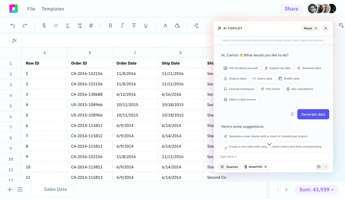
Additionally, we will explore how Sourcetable lets you analyze your exported data with AI in a simple to use spreadsheet.
Exporting Data to CSV Format from ArcGIS
Introduction to Exporting Data
ArcGIS provides versatile options to export tables to various formats, one of which is the .csv file format. CSV, or comma-separated values, is a widely accepted format for data storage and exchange because it is both simple and universal.
Steps for Exporting a Table to CSV Format
To export a table to CSV format, start by selecting either 'Open' for a table or 'Attribute Table' for a layer. Next, click the Menu button located in the upper right of the table view and select 'Export.' The Export Table dialog box will then appear. Here, you need to type a name for the Output Table and specify the file extension as .csv. Click OK to run the tool, which will save the new table to the specified location and add it to the Contents pane.
Batch Export Using Table to dBASE Tool
The Table to dBASE geoprocessing tool allows exporting multiple tables at once to CSV format. In the tool's parameters, specify .csv as the file extension to ensure the tables are exported correctly. This feature is useful for handling large datasets and streamlining your workflow.
Export Options and Best Practices
When exporting a table to a .csv file, the file will contain all the records from the table. It is important to note that while exporting to a folder requires specifying .csv as the file extension, exporting to a geodatabase does not require an extension. Nonetheless, specifying .csv ensures the format is maintained.
Conclusion
ArcGIS makes it straightforward to export data to CSV, a format that is both versatile and easy to use. By following the steps provided, users can efficiently manage and export their data, ensuring it is saved in a universally accessible format. The options for both individual and batch exports provide flexibility to meet various data management needs.
How to Export Your Data to CSV Format from ArcGIS
Introduction
ArcGIS provides functionality to export tables to various formats, including CSV, enabling seamless data handling and sharing. This guide will walk you through the steps to export your data to CSV format from ArcGIS.
Exporting Tables
You can export tables from a map, the Catalog pane, or a catalog view in ArcGIS. Exporting a table creates a new table, which can be useful for modifying, sharing, or creating specific sets of records without altering the original data.
Steps to Export a Table to CSV
To export a table to CSV format in ArcGIS, follow these steps:
- Right-click the table or layer in the Contents pane and click Open or Attribute Table.
- Click the Menu button and select Export.
- The Export Table dialog box will open.
- In the dialog box, type a name in the Output Table parameter and include the .csv file extension.
- Click the Browse button to choose a folder or geodatabase to place the exported data.
- Click OK to run the tool and export the table.
Formats Supported
Besides CSV, ArcGIS allows exporting of tables to several formats including dBASE tables, geodatabases, and comma-delimited .txt files. You can also export to different table types or feature classes.
Conclusion
Exporting tables in ArcGIS is straightforward and allows for flexibility in data management. Follow the above steps to export your data to CSV format efficiently and effectively.
ArcGIS Use Cases
Indoor Navigation and Wayfinding
ArcGIS IPS facilitates indoor navigation and wayfinding, enabling users to efficiently navigate complex indoor environments. This is particularly useful in large facilities such as airports, shopping malls, and hospitals, where clear navigation can enhance user experience and operational efficiency.
Location Tracking and Sharing
ArcGIS IPS empowers users with accurate location tracking and sharing capabilities. This functionality is crucial for businesses, educational institutions, and public safety agencies that need to monitor the location of people or assets in real-time.
Location Data Collection and Analytical Insights
Integrating location data collection with ArcGIS IPS allows organizations to gather granular data points within indoor spaces. Coupled with analytical insights from ArcGIS Online, businesses can discover new patterns, enrich data, and make data-driven decisions.
Urban Planning and Design
ArcGIS Urban offers a comprehensive solution for urban planning and design, enabling stakeholders to collaborate effectively. It addresses critical issues such as housing shortages, climate resiliency, and economic uncertainty by providing tools for 3D scenario modeling, data analysis, and project submissions.
Energy Utilities Monitoring
Energy utility companies such as PG&E utilize ArcGIS for comprehensive GIS implementations across their operations. This enhances monitoring capabilities, improves operational efficiency, and fosters better asset management.
Emergency Response and Public Safety
Agencies like the NYPD-ITB leverage ArcGIS for enterprise GIS implementation to enhance public safety. Real-time data analysis and location tracking improve response times and resource allocation during emergencies.
Environmental Conservation
Projects like the National Geographic Okavango Wilderness Project utilize ArcGIS to protect natural environments. GIS technology aids in monitoring ecosystems, analyzing data, and implementing conservation strategies effectively.
Facility and Infrastructure Management
The OC Survey GIS team uses ArcGIS for infrastructure management in Orange County, California. With GIS technology, they ensure modern infrastructure maintenance, asset tracking, and efficient resource allocation.
Why Choose Sourcetable Over ArcGIS?
Sourcetable is a powerful spreadsheet tool that consolidates data from various sources into one centralized location. Unlike ArcGIS, Sourcetable allows you to query and manipulate data in real-time using a familiar spreadsheet-like interface.
With Sourcetable, you can easily access and manage data from multiple databases without needing extensive coding knowledge. This makes data manipulation more intuitive and efficient, catering to users who prefer straightforward, user-friendly interfaces.
Real-time data querying is a standout feature of Sourcetable. This capability ensures up-to-date information, enabling faster decision-making and more accurate analysis, which is particularly advantageous compared to the more static datasets in ArcGIS.
Sourcetable's versatility in handling various data sources makes it an excellent choice for users who require a flexible, comprehensive tool for data analysis. Its spreadsheet-like environment simplifies complex data operations, enhancing productivity and ease of use.

Frequently Asked Questions
How do I start exporting a table from ArcGIS to CSV?
Right-click the table or layer in the Contents pane, click 'Open' for a table or 'Attribute Table' for a layer, then click the Menu button in the upper right of the table view and select 'Export'.
How do I specify the output format as CSV in ArcGIS?
In the Export Table dialog box, type a name with the .csv extension in the Output Table parameter when exporting to a folder.
Where will the new CSV file be saved after exporting from ArcGIS?
The new CSV file will be saved to the specified location and added to the Contents pane.
Can I export selected records from a table in ArcGIS to CSV?
Yes, ArcGIS allows you to export selected records or all records in a table.
Do I need to specify a file extension when exporting to a geodatabase?
No, you do not need to specify a file extension when exporting to a geodatabase.
Conclusion
Exporting data from ArcGIS to CSV format is a straightforward process that ensures your geospatial data is accessible and ready for further analysis. By following the steps outlined in this guide, you can efficiently convert your data and leverage the flexibility of CSV files.
Take your data analysis to the next level by signing up for Sourcetable. Use AI in a simple-to-use spreadsheet to unlock new insights from your exported CSV data.
Start working with Live Data
Al is here to help. Leverage the latest models to
analyze spreadsheets, enrich data, and create reports.