Introduction
Understanding how to calculate tidal range is essential for marine navigation, coastal engineering, and environmental management. The tidal range is determined by measuring the difference between the highest tide, known as high tide, and the lowest tide, referred to as low tide. These measurements are vital for predicting tidal currents and managing coastal resources effectively.
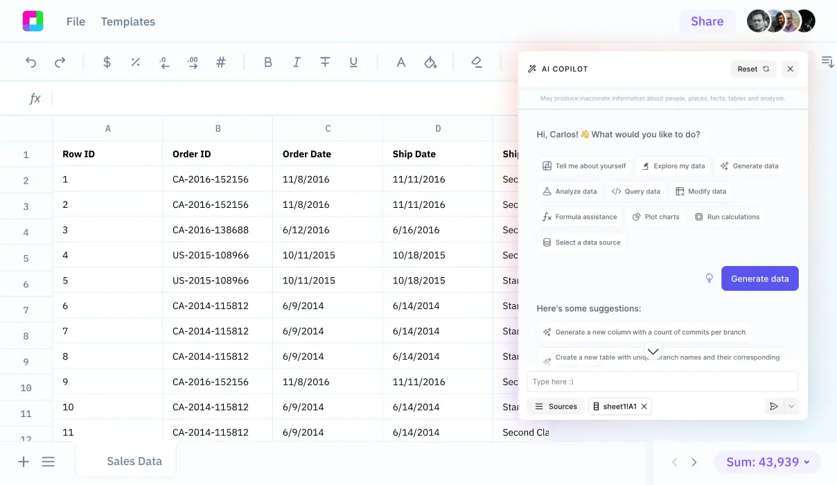
This guide will delve into the methods of calculating tidal range, simplifying the process to enhance your hydrographic expertise. Additionally, we will explore how Sourcetable allows you to calculate this and more using its AI-powered spreadsheet assistant, which you can try at app.sourcetable.com/signup.
See how easy it is to tidal range with Sourcetable

How to Calculate Tidal Range
Understanding Tidal Range Calculation
To determine the tidal range, measure the vertical difference between the high tide and the low tide. Use the formula TR = HT - LT, where TR represents the tidal range, HT is the high tide level, and LT is the low tide level. Always measure the high tide level before the low tide level for accuracy.
Tools Required for Tidal Range Calculation
To efficiently calculate tidal range, you will need a basic calculator. Enhance the accuracy of your calculation with specialized tools like a Tidal Acceleration Calculator and Tsunami Velocity Calculator, which assist in understanding the complexities of tidal movements influenced by various natural forces.
Factors Influencing Tidal Range
The calculation of tidal range is not static and varies depending on time and geographic location. Larger ranges are typical during spring tides, which occur when the Moon’s and Sun's gravitational forces align. These tides are most pronounced around the equinox and during the second and fourth lunar quarters. Conversely, neap tides, happening at the lunar phases' first and third quarters, present smaller tidal ranges. Additionally, weather conditions such as sustained storm-force winds and low barometric pressure can increase the tidal range.
Methodology and Practical Application
Implement the tidal range calculation by first observing the high and low tide levels at the location of interest. Apply the subtraction formula TR = HT - LT immediately after these measurements for the most accurate result. This calculation is particularly useful in coastal management, navigation safety, and fishing industry operations, where understanding water level changes is crucial.
How to Calculate Tidal Range
Understanding the tidal range—a crucial metric for mariners and coastal residents—requires calculating the vertical difference between the high tide and low tide levels. This measurement is most often expressed in meters or feet.
Step-by-Step Calculation
Begin by determining the high tide level (HT). Next, ascertain the low tide level (LT). Once both levels are known, use the formula TR = HT - LT to find the tidal range (TR), where TR stands for tidal range.
Understanding Mean Tidal Range
The mean tidal range can be computed by subtracting the mean low water (MLW) from the mean high water (MHW) using the formula Mean Tidal Range = MHW - MLW. This calculation provides a more averaged view of tidal variations over a period.
Factors Influencing Tidal Range
Tidal range is not static and can vary significantly depending on a variety of factors including geographic location, time, and specific lunar phases. Spring tides, which produce larger tidal ranges, occur when the Moon and Sun align their gravitational forces, specifically during the second and fourth quarters of the lunar phases. Conversely, neap tides, which occur during the first and third quarters, result in smaller tidal ranges.
Environmental conditions such as sustained storm-force winds and low barometric pressure can also increase the tidal range, especially when winds consistently push water towards the shore.
Critical for both navigational purposes and coastal management, calculating the tidal range provides valuable insights into the expected water levels at different times, helping in planning and risk management.
Examples of Calculating Tidal Range
Example 1: Basic Tidal Range Calculation
To calculate the tidal range, subtract the lowest recorded tide level from the highest during a tidal cycle. For instance, if the high tide is at 3.5 meters and the low tide at 0.5 meters, the tidal range would be 3.5 - 0.5 = 3 meters.
Example 2: Tidal Range During Spring Tide
Spring tides, occurring during new and full moons, feature higher tidal ranges. If the high tide reaches 4.0 meters and the low tide drops to 0.2 meters, the tidal range is 4.0 - 0.2 = 3.8 meters.
Example 3: Tidal Range During Neap Tide
Neap tides, which occur at the first and third quarter moon phases, manifest smaller tidal ranges. A high tide at 2.7 meters and a low tide at 1.2 meters produce a tidal range of 2.7 - 1.2 = 1.5 meters.
Example 4: Calculating Tidal Range in Estuaries
In estuaries, tidal range calculation remains the same but might show greater variation due to geographical factors. For example, a high tide measure at 3.6 meters and a low tide at 1.0 meters results in a tidal range of 3.6 - 1.0 = 2.6 meters.
Example 5: Yearly Maximum Tidal Range
To find the yearly maximum tidal range, compare the highest tidal range of each month. If January’s highest range is 3.7 meters, and another month peaks at 4.1 meters, use the larger value as the yearly maximum.
Discover the Power of Sourcetable for All Your Calculation Needs
Revolutionary AI Assistance
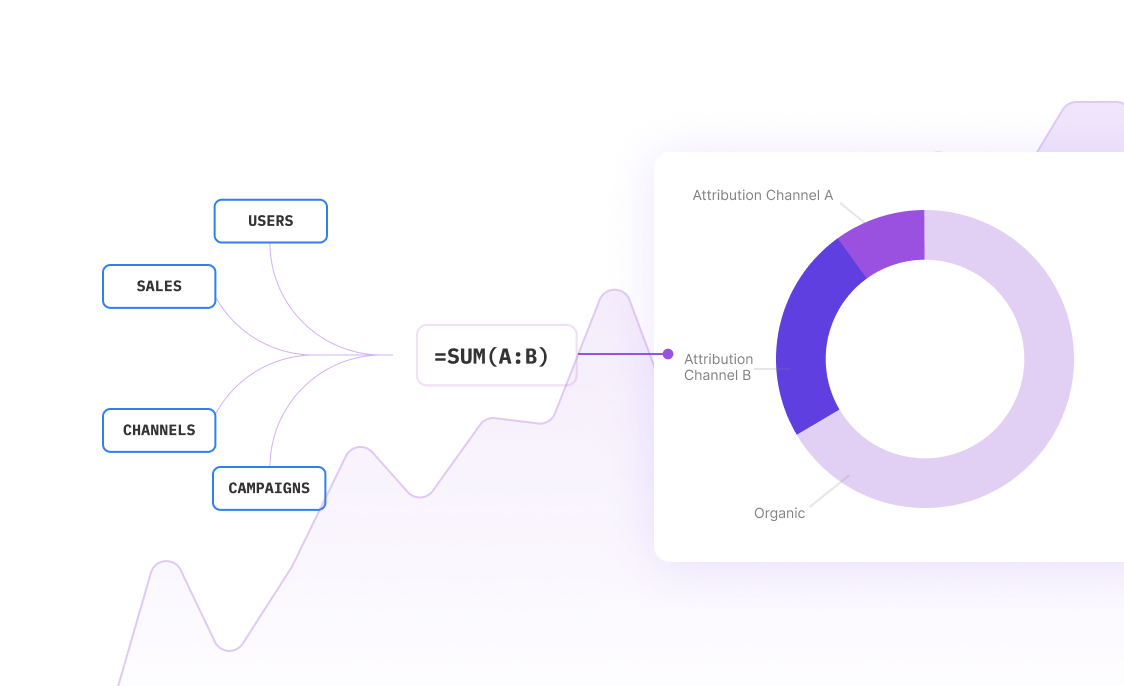
Unlock the potential of AI-powered calculations with Sourcetable. This intelligent spreadsheet tool uses advanced algorithms to process and compute any query you input. From simple arithmetic to complex equations, Sourcetable handles calculations effortlessly, allowing for precise and immediate results.
Calculate Tidal Ranges with Ease
Curious about how to calculate tidal range? Sourcetable simplifies this process. By entering relevant data such as high tide and low tide levels, the AI assistant will calculate the tidal range using the formula high tide level - low tide level. It presents both the answer and detailed steps in an easy-to-understand format, perfect for educational or professional purposes.
Interactive Learning and Problem Solving
Whether you're studying for school or solving work-related problems, Sourcetable provides an interactive platform to learn and engage with complex calculations. The chat interface explains how calculations are done, enhancing your understanding and skills in real-time.
Efficient and User-Friendly
Enjoy the efficiency of having calculations and explanations in a single interface. Sourcetable's design focuses on user experience, making it accessible for users at any skill level and from any field. This efficiency transforms how calculations are performed and understood, making it invaluable for educational and professional environments.
Use Cases for Calculating Tidal Range
Coastal Engineering |
Understanding tidal range is crucial for classifying and predicting the morphological changes in coastlines. Facilitates designing structures to withstand varying tidal conditions. |
Fishing Optimization |
Calculates optimal fishing times by predicting when bait is likely to be swept along in moving water, enhancing fishing efficiency. Larger tidal ranges typically indicate better fishing opportunities. |
Marine Navigation |
Enhances safety and efficiency in navigation by using tidal curves to predict water heights at different times, aiding in the avoidance of shallow waters and optimizing route planning. |
Tidal Power Generation |
Facilitates the strategic placement and operation of tidal range power plants, enabling consistent energy output by minimizing variability through complementary plant development and energy storage integration. |
Rescue and Emergency Operations |
Improves the timing and safety of coastal rescue operations by accurately predicting the best times for boat launches and landings based on tidal conditions. |
Real Estate and Urban Planning |
Enables developers and urban planners to assess potential flood zones more accurately and make informed decisions regarding building locations and designs. |
Frequently Asked Questions
What is the formula to calculate tidal range?
The formula to calculate tidal range is TR = HT - LT, where TR is the tidal range, HT is the high tide level, and LT is the low tide level.
How do you find the tidal range with given tide levels?
To find the tidal range, determine the high tide level first, then the low tide level. Subtract the low tide level from the high tide level using the formula TR = HT - LT.
What is the tidal range?
The tidal range is the vertical difference between the high tide and low tide, measured in feet or meters.
What units are used to measure tidal range?
Tidal range is measured in feet or meters.
What factors can affect the tidal range?
Factors that affect the tidal range include the shape of the seacoast, the ocean floor, the smoothness and size of a beach, the distance of the moon and sun to Earth, and the gravitational pull of the sun and moon.
Conclusion
Calculating tidal range, the difference between low and high tide heights, is crucial for various maritime activities. This calculation involves tracking the maximum high tide and minimum low tide levels during a specific tidal cycle. Understanding this measurement enhances safety and operational efficiency at sea.
Simplify Your Calculations with Sourcetable
Performing tidal range calculations becomes more straightforward with Sourcetable. This AI-powered spreadsheet tool is designed to simplify complex calculations. With Sourcetable, you can effortlessly apply these calculations to AI-generated data, ensuring accuracy and efficiency.
Experience the convenience of Sourcetable by trying it out for free. Visit app.sourcetable.com/signup to get started.
Recommended Guides
Connect your most-used data sources and tools to Sourcetable for seamless analysis.

