Introduction
Understanding how to calculate azimuth is crucial for a range of applications, from navigation and cartography to solar energy management and satellite dish installation. Azimuth refers to the angle between a reference direction, usually north, and the line from the observer to a point of interest, measured clockwise in degrees. This calculation helps in accurately positioning and orienting devices, navigating terrain or directing solar panels for optimal sun exposure.
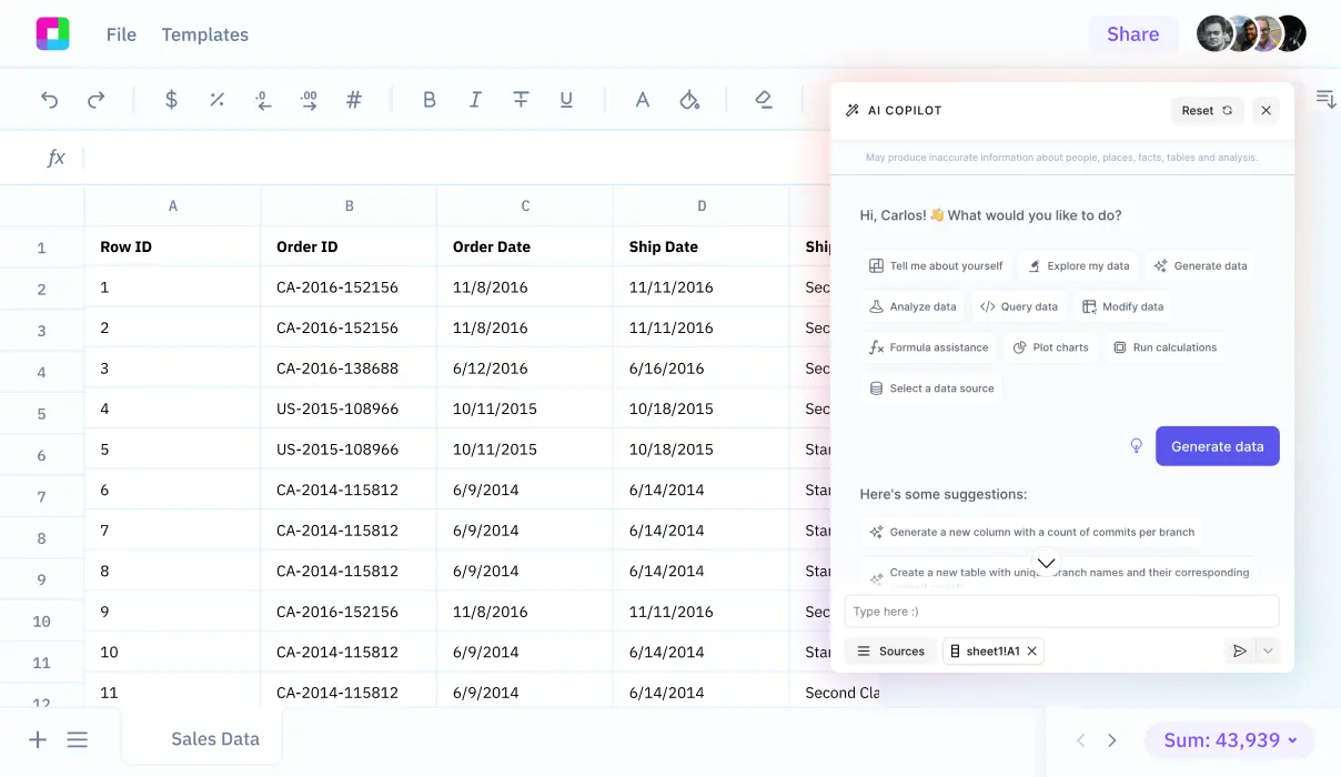
Learning the steps involved in calculating azimuth can enhance your geographical and spatial analysis skills. We'll also discuss how Sourcetable facilitates this calculation, among other functionalities, with its AI-powered spreadsheet assistant.
See how easy it is to azimuth with Sourcetable
How to Calculate Azimuth: Tools and Methods
Understanding Azimuth Calculation
Azimuth, a critical concept in navigation and astronomy, defines the angle between the North direction and the projection of a celestial body or terrestrial object. It is typically measured in degrees from the north, moving clockwise.
Manual Methods Using a Compass
To calculate azimuth manually, begin by determining north with a compass. Then, point the compass towards your object of interest. Measure the angle in degrees from North to your object. If your object lies west of the North Star, use the formula Z = 360 - d, where d is the measured angle.
Night Method: Using the North Star
At night, locate the North Star to establish north. Measure the angle between the North Star and the object. Calculate the azimuth as previously described, using the formula Z = 360 - d.
Using Azimuth Calculators
For a more precise calculation, the Academo Azimuth Calculator and Solmetric Roof Azimuth Tool provide user-friendly interfaces. Academo lets you drag markers to your location and the location of your object, displaying the azimuth directly. The Solmetric tool uses aerial images to estimate the azimuth of structures, particularly valuable in solar panel site assessments.
Mathematical Calculation with the Haversine Formula
For those preferring mathematical precision, azimuth can also be calculated using spherical trigonometry. The standard equation used is theta = arctan2(sin(Delta lambda) cos(phi_2), cos(phi_1) sin(phi_2) - sin(phi_1) cos(phi_2) cos(Delta lambda)), where phi_1 and phi_2 are the latitudes of the start and end points, respectively, and Delta lambda is the difference in longitude. Convert theta to a positive degree measure to find the azimuth.
How to Calculate Azimuth
Understanding how to calculate azimuth is essential for navigation and astronomy. The azimuth represents a compass bearing or direction to an object from the observer. Several methods are available, including manual calculations using a compass and more advanced trigonometric approaches.
Using a Compass for Azimuth Calculation
To calculate azimuth with a compass, first determine the north direction, as the compass provides a zero degree point. Point the compass toward the object of interest. The azimuth is then read directly from the compass as the degree measurement.
Calculating Azimuth for Astronomical Observations
After dark, locate the North Star to assist with azimuth calculations. Find the distance in degrees between the North Star and your target object. Apply the formula Z = 360 - d to determine the azimuth, where Z is the azimuth and d is the degree distance from due north.
Navigational Azimuth Calculations
In navigation, azimuth can be calculated using spherical trigonometry methods such as the cosine formula, especially in scenarios where traditional methods like the half-haversine formula are not suitable. Advanced software solutions and sight reduction methods are also commonly used to compute azimuth in modern navigation.
Azimuth Calculation Using Online Tools
Online tools like the Azimuth Calculator simplify finding azimuth. These calculators typically require the latitude and longitude of two points, and use the arctan2 and Haversine formulas to compute the azimuth accurately and efficiently.
Each method of azimuth calculation serves different needs, so choosing the appropriate one is crucial depending on the specific requirements of your task or project.
Try Sourcetable For Free
Calculate anything with Sourcetable AI. Tell Sourcetable what you want to calculate. Sourcetable does the rest.
Sign Up
Calculating Azimuth: Practical Examples
Example 1: From Coordinates
To calculate azimuth from geographic coordinates, subtract the longitude of the starting point from the longitude of the endpoint. If coordinates are: Start Point at Long1, Lat1 and End Point at Long2, Lat2, use the formula Azimuth = tan^{-1}((sin(Long2-Long1) * cos(Lat2)) / (cos(Lat1) * sin(Lat2) - sin(Lat1) * cos(Lat2) * cos(Long2-Long1))).
Example 2: Using a Compass
Position the compass flat on your hand at your location. Aim the direction-of-travel arrow toward your target landmark. Rotate the bezel until the magnetic needle aligns with the orienting arrow. The reading at the index line gives the azimuth to the landmark.
Example 3: From Observation of Sun
To calculate azimuth from the Sun's position, record the time of your observation. Determine the Sun's position relative to true north at that time. This position directly gives the azimuth.
Example 4: By Map and Protractor
Place a map on a flat surface, ensuring it's aligned true north. Lay a protractor on the map considering your location as the origin. Point toward your destination on the map along the straight edge of the protractor. The angle measured from north gives the azimuth.
Discover the Power of Sourcetable for All Your Calculation Needs
Intuitive AI-Powered Calculations
Sourcetable transforms complex data analysis with its AI-driven spreadsheet technology. Whether you are calculating simple expenses or complex formulas like how to calculate azimuth, Sourcetable's AI assistant simplifies the process. Enter your data, ask your question, and receive accurate calculations instantly.
Real-Time Answers and Explanations
Understanding the "why" behind calculations is crucial, especially in educational or professional settings. Sourcetable does more than compute; it educates. After performing calculations, such as determining azimuth from coordinates using azimuth = arctan2(sin(Δlong)*cos(lat2), cos(lat1)*sin(lat2) - sin(lat1)*cos(lat2)*cos(Δlong)), the AI explains the steps in a clear, accessible chat interface. This feature is invaluable for students and professionals alike, ensuring not just answers, but comprehension.
Versatile and User-Friendly
Sourcetable is designed for everyone. Its flexibility makes it perfect for a variety of users, from students tackling homework to professionals managing projects. This versatility extends to its ability to handle any calculation you need, supported by its robust AI capabilities and user-centric design.
Use Cases for Calculating Azimuth
Navigation Systems |
Calculating azimuth is essential in navigation to determine travel direction. Using the arctan2 formula, which utilizes sine and cosine, azimuth provides the angle from north based on latitude and longitude coordinates. This application enhances accuracy in land and sea navigation. |
Solar Panel Alignment |
Optimal energy absorption in solar panels is achieved by precise azimuth calculations. This ensures panels are aligned to maximize exposure to sunlight, thereby improving efficiency and energy output. |
Architectural Design |
Azimuth calculations aid in the optimal orientation of windows and structural openings to maximize natural lighting and enhance energy efficiency in heating and cooling systems. This is crucial for sustainable building practices. |
Land Surveying |
In land surveying, azimuth is used for precise horizontal measurements. The accuracy in determining angles and alignments relative to a known baseline ensures the correctness of boundary and property layouts. |
Frequently Asked Questions
What is azimuth?
Azimuth is the angular distance from the north or south point of the horizon to the vertical circle’s foot through a heavenly body.
How do you calculate azimuth using a compass?
To calculate azimuth using a compass, you point the compass in the direction of the object, locate the North Star, and then use the formula Z = 360 - d, where d is the distance in degrees from the North Star to the object.
Why is the North Star used in calculating azimuth?
The North Star is used to calculate azimuth because it is almost exactly north, which provides a reliable reference point for orientation.
How is azimuth measured?
The azimuth is measured in degrees.
Conclusion
Calculating azimuth is essential for various applications ranging from navigation to solar energy planning. Understanding how to derive this angle, which represents a compass direction from a specific point, can significantly enhance accuracy in projects related to geography and beyond.
Simplify Azimuth Calculations with Sourcetable
Sourcetable facilitates these complex calculations effortlessly. As an AI-powered spreadsheet, Sourcetable simplifies entering data, applying formulas, and experimenting with AI-generated data. Perform azimuth calculations by inputting relevant coordinates and applying the correct formula in a user-friendly interface.
To explore the full capabilities of calculating azimuth effortlessly, try Sourcetable for free at app.sourcetable.com/signup.
Try Sourcetable For Free
Calculate anything with Sourcetable AI. Tell Sourcetable what you want to calculate. Sourcetable does the rest.
Sign Up
Recommended Guides
Connect your most-used data sources and tools to Sourcetable for seamless analysis.
Calculate anything you want with AI
Sourcetable takes the math out of any complex calculation. Tell Sourcetable what you want to calculate. Sourcetable AI does the rest. See the step-by-step result in a spreadsheet and visualize your work. No Excel skills required.