Weather Pattern Analysis Made Simple
Transform complex meteorological data into clear insights with AI-powered analysis tools. Track climate trends, forecast patterns, and make data-driven weather predictions.

Weather patterns hold the key to understanding our changing climate, but analyzing vast amounts of meteorological data can be overwhelming. Whether you're tracking temperature trends, analyzing precipitation patterns, or studying storm systems, the challenge isn't just collecting the data—it's making sense of it all.
Imagine having years of weather station data spread across dozens of files, each containing thousands of temperature readings, humidity measurements, and wind speed records. Traditional spreadsheet tools make this analysis tedious and error-prone. That's where Sourcetable transforms your workflow.
Why Choose Sourcetable for Weather Analysis
Our AI-powered platform transforms complex meteorological data into clear, actionable insights
Automated Data Processing
Import weather data from multiple sources and formats automatically. Our AI handles CSV files, weather APIs, and sensor data without manual formatting.
Advanced Statistical Analysis
Perform complex climate trend analysis, seasonal decomposition, and correlation studies with simple natural language commands.
Real-time Pattern Recognition
Identify emerging weather patterns, anomalies, and long-term climate trends as your data updates in real-time.
Interactive Visualizations
Create compelling weather charts, heat maps, and trend graphs that update automatically as new data arrives.
Predictive Modeling
Build forecasting models based on historical patterns to predict future weather conditions and climate trends.
Collaborative Analysis
Share your weather analysis with colleagues, add comments, and work together on climate research projects in real-time.
Real-World Weather Pattern Analysis Examples
Temperature Trend Analysis
A regional climate monitoring station collected daily temperature readings for five years. Using Sourcetable, they analyzed seasonal patterns and identified a concerning warming trend:
- Imported 1,825 days of temperature data in seconds
- Applied moving averages to smooth daily fluctuations
- Calculated annual temperature anomalies automatically
- Generated trend visualizations showing 2°F increase over the period
- Created automated alerts for temperature extremes
The analysis revealed that summer temperatures were rising faster than winter temperatures, providing crucial data for local climate adaptation planning.
Precipitation Pattern Study
A water management agency needed to understand changing rainfall patterns across their region. They used Sourcetable to analyze data from 50 weather stations:
- Consolidated rainfall data from multiple sources into one analysis
- Identified drought and flood risk patterns by season
- Calculated statistical significance of rainfall changes
- Created predictive models for water resource planning
- Generated automated reports for stakeholder meetings
The analysis revealed a 15% decrease in spring rainfall over the past decade, leading to updated water conservation strategies.
Storm System Tracking
Emergency management teams track storm patterns to improve preparedness. A coastal region used Sourcetable to analyze hurricane data:
- Tracked storm intensity, path, and frequency over 30 years
- Identified correlations with sea surface temperatures
- Analyzed seasonal storm activity patterns
- Created risk assessment models for different coastal areas
- Generated early warning system recommendations
The analysis showed storm intensification rates were increasing, helping emergency teams adjust their response protocols.
Ready to analyze your weather data?
Transform your meteorological data into actionable insights with AI-powered analysis
Start free trial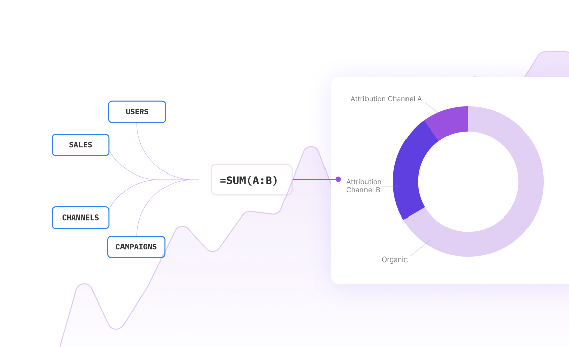
How Weather Pattern Analysis Works in Sourcetable
Follow these simple steps to transform your meteorological data into meaningful insights
Import Your Weather Data
Upload CSV files, connect to weather APIs, or import from weather stations. Sourcetable handles all common meteorological data formats automatically.
Clean and Prepare Data
Our AI identifies and handles missing values, outliers, and data quality issues. No need for manual data cleaning or preprocessing.
Ask Questions in Plain English
Simply ask questions like 'What's the temperature trend over the last 5 years?' or 'Show me precipitation patterns by season' and get instant analysis.
Generate Insights and Visualizations
Sourcetable creates statistical summaries, trend charts, and pattern visualizations automatically. Export results or share interactive dashboards.
Weather Analysis Use Cases
Discover how professionals across industries use Sourcetable for weather pattern analysis
Climate Research
Analyze long-term climate trends, study global warming effects, and identify climate change patterns using decades of historical weather data.
Agricultural Planning
Optimize crop planning, irrigation schedules, and harvest timing by analyzing seasonal weather patterns and predicting growing conditions.
Energy Management
Forecast energy demand based on temperature patterns, optimize renewable energy production, and plan for weather-related infrastructure needs.
Insurance Risk Assessment
Analyze weather-related claims patterns, assess climate risks for different regions, and develop data-driven insurance pricing models.
Emergency Preparedness
Study extreme weather patterns, identify high-risk periods, and develop early warning systems for natural disasters and severe weather events.
Transportation Planning
Analyze weather impacts on traffic patterns, optimize routing during seasonal conditions, and plan infrastructure maintenance schedules.
Frequently Asked Questions
What types of weather data can I analyze with Sourcetable?
Sourcetable supports all common meteorological data types including temperature, humidity, precipitation, wind speed and direction, atmospheric pressure, solar radiation, and air quality measurements. You can import data from weather stations, APIs, CSV files, and sensor networks.
How does Sourcetable handle missing or incomplete weather data?
Our AI automatically identifies gaps in your weather data and can interpolate missing values using statistical methods appropriate for meteorological data. You can also set custom rules for handling missing data based on your specific analysis needs.
Can I analyze weather data from multiple locations simultaneously?
Yes, Sourcetable excels at multi-location weather analysis. You can combine data from multiple weather stations, compare regional patterns, and analyze spatial weather trends across any geographic area.
What statistical methods are available for weather pattern analysis?
Sourcetable includes advanced statistical tools for weather analysis including trend analysis, seasonal decomposition, correlation analysis, regression modeling, time series forecasting, and anomaly detection. All methods are accessible through natural language queries.
How do I create weather forecasting models?
Simply ask Sourcetable to 'create a temperature forecast model' or 'predict next month's rainfall' and our AI will build appropriate predictive models using your historical data. You can refine models and test different forecasting approaches easily.
Can I share my weather analysis with colleagues?
Absolutely. Sourcetable allows real-time collaboration on weather analysis projects. You can share dashboards, export reports, and work together with team members on climate research and weather studies.
How accurate are the weather pattern predictions?
Prediction accuracy depends on your data quality and the patterns present in your historical weather data. Sourcetable provides accuracy metrics and confidence intervals for all predictions, helping you understand the reliability of your forecasts.
Does Sourcetable integrate with weather APIs and data services?
Yes, Sourcetable can connect to major weather data providers and APIs, automatically importing current and historical weather data for your analysis. This ensures your weather studies always use the most up-to-date information.


Frequently Asked Questions
If your question is not covered here, you can contact our team.
Contact UsHow do I analyze data?
What data sources are supported?
What data science tools are available?
Can I analyze spreadsheets with multiple tabs?
Can I generate data visualizations?
What is the maximum file size?
Is this free?
Is there a discount for students, professors, or teachers?
Is Sourcetable programmable?
Ready to revolutionize your weather analysis?
Join thousands of meteorologists and climate researchers who trust Sourcetable for their weather pattern analysis. Start your free trial today.