Master Geospatial Data Analysis
Transform location data into strategic insights with AI-powered geographic analysis tools. From customer mapping to risk assessment, unlock the power of where.

Transform Location Data Into Strategic Insights
Picture this: You're staring at thousands of GPS coordinates, demographic data points, and location attributes scattered across multiple spreadsheets. The patterns are there—you can feel it—but extracting meaningful insights feels like trying to solve a jigsaw puzzle blindfolded. Sound familiar?
Geospatial data analysis doesn't have to be this frustrating. With the right approach and tools, you can transform raw location data into compelling visualizations and actionable intelligence that drives real business decisions. Whether you're analyzing customer distribution patterns, optimizing delivery routes, or studying environmental changes, effective geospatial analysis starts with having your data in the right format and the right environment.
In this comprehensive guide, we'll walk through practical geospatial analysis techniques, real-world examples, and show you how modern spreadsheet tools can make complex geographic analysis surprisingly straightforward.
What is Geospatial Data Analysis?
Geospatial data analysis is the process of examining and interpreting data that has a geographic or location component. It combines statistical analysis with geographic information to reveal patterns, relationships, and trends that might not be visible when looking at data in isolation.
Think of it as adding the "where" dimension to your data analysis. Instead of just knowing that sales increased by 15% last quarter, geospatial analysis helps you understand where that growth happened, why certain regions performed better, and how geographic factors influenced those results.
Key Components of Geospatial Data
- Location coordinates: Latitude and longitude points that pinpoint exact positions
- Spatial attributes: Information about areas, distances, boundaries, and relationships between locations
- Temporal elements: Time-based data that shows how geographic patterns change over time
- Thematic data: Non-spatial information linked to specific locations (demographics, sales figures, environmental readings)
Why Geospatial Analysis Matters
Discover how location-based insights can transform your decision-making process
Pattern Recognition
Identify hidden geographic patterns and hotspots that traditional analysis might miss. Spot clustering, dispersion, and spatial relationships that drive strategic insights.
Risk Assessment
Evaluate location-based risks more accurately by combining geographic factors with historical data. Perfect for insurance, logistics, and emergency planning.
Market Intelligence
Understand customer distribution, competitor locations, and market penetration with precision. Make data-driven decisions about expansion and resource allocation.
Resource Optimization
Optimize routes, facility locations, and service areas based on real geographic constraints and opportunities. Reduce costs while improving service quality.
Predictive Modeling
Build more accurate predictive models by incorporating spatial relationships and geographic variables into your analysis framework.
Visual Communication
Present complex data relationships through intuitive maps and geographic visualizations that stakeholders can understand immediately.
Real-World Geospatial Analysis Examples
See how organizations across different sectors leverage geographic data for competitive advantage
Retail Site Selection
A growing coffee chain used geospatial analysis to identify optimal locations for new stores by analyzing foot traffic patterns, competitor density, demographic data, and proximity to public transportation. The result? 23% higher average revenue per new location compared to sites chosen through traditional methods.
Emergency Response Planning
Municipal emergency services analyzed historical incident data, population density, and geographic barriers to optimize ambulance station locations and response routes. This spatial analysis reduced average response times by 18% across the city.
Agricultural Yield Optimization
A farming cooperative combined soil quality data, weather patterns, and satellite imagery to create detailed field maps showing optimal crop placement. Farmers using these insights saw 12% average yield improvements while reducing fertilizer costs.
Insurance Risk Modeling
An insurance company integrated flood zone data, property values, and claims history to create precise risk models for different geographic areas. This allowed for more accurate pricing and 35% reduction in unexpected claims.
Supply Chain Optimization
A distribution company analyzed customer locations, warehouse capacity, and transportation costs to redesign their delivery network. The geographic optimization reduced shipping costs by 22% while improving delivery times.
Environmental Impact Assessment
Researchers studying urban air quality combined pollution monitoring data with traffic patterns, industrial locations, and weather data to identify key pollution sources and predict air quality changes throughout the city.
Step-by-Step Geospatial Analysis Process
A practical approach to conducting meaningful geographic data analysis
Data Collection and Preparation
Gather location data from various sources—GPS coordinates, addresses, zip codes, or geographic boundaries. Clean and standardize the data format, ensuring consistent coordinate systems and removing duplicates or errors. Import external geographic datasets like census data, weather information, or demographic statistics that complement your core data.
Geocoding and Coordinate Assignment
Convert addresses or location names into precise latitude/longitude coordinates. Verify coordinate accuracy and handle any geocoding errors or ambiguous locations. Ensure all data points have proper spatial references for accurate analysis.
Spatial Analysis and Pattern Detection
Apply spatial statistical methods to identify clusters, outliers, and patterns in your data. Calculate distances, analyze density distributions, and examine spatial relationships between different variables. Look for trends that emerge when data is viewed through a geographic lens.
Visualization and Mapping
Create compelling maps and geographic visualizations that tell your data's story. Use color coding, symbols, and layering to highlight key insights. Build interactive dashboards that allow stakeholders to explore the data themselves.
Interpretation and Action Planning
Translate spatial insights into actionable business recommendations. Identify opportunities for optimization, risk mitigation, or strategic expansion based on geographic patterns. Develop implementation plans that leverage your spatial analysis findings.
Why Sourcetable Excels at Geospatial Analysis
Traditional GIS software can be complex and expensive, while basic spreadsheet tools lack the advanced analytical capabilities needed for sophisticated geospatial work. Sourcetable bridges this gap by combining the familiar interface of spreadsheets with powerful AI-driven geographic analysis tools.
AI-Powered Geographic Intelligence
Sourcetable's AI assistant understands geographic concepts and can help you perform complex spatial calculations, generate insights from location data, and even suggest optimal analysis approaches based on your specific dataset and objectives.
Seamless Data Integration
Connect directly to mapping services, demographic databases, and external geographic data sources. Import shapefiles, KML data, and other standard geospatial formats without complex conversion processes.
Built-in Visualization Tools
Create professional-quality maps and geographic visualizations directly within your spreadsheet environment. No need to export data to separate mapping software—everything happens in one integrated workspace.
Ready to unlock your location data's potential?
Transform your geographic data into actionable insights with Sourcetable's AI-powered analysis tools
Start your geospatial analysis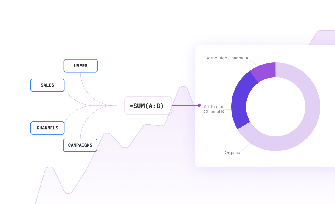
Essential Geospatial Analysis Techniques
Master these fundamental techniques to extract maximum value from your geographic data:
Spatial Clustering Analysis
Identify groups of similar locations or events that occur close together. Perfect for finding customer concentration areas, crime hotspots, or disease outbreak patterns. Use clustering to optimize resource placement and understand geographic distribution patterns.
Buffer Analysis
Create zones around specific locations to analyze influence areas or service regions. For example, analyze all customers within 5 miles of a store location, or examine environmental impact within a certain distance of a facility.
Proximity Analysis
Measure distances and relationships between different geographic features. Calculate travel times, find nearest facilities, or determine optimal routes between multiple points.
Density Mapping
Visualize the concentration of events or features across geographic areas. Create heat maps showing customer density, sales performance by region, or resource utilization patterns.
Temporal-Spatial Analysis
Examine how geographic patterns change over time. Track movement patterns, analyze seasonal variations, or study the evolution of geographic phenomena across different time periods.
Key Data Sources for Geospatial Analysis
Successful geospatial analysis depends on quality data from reliable sources. Here are the most valuable data sources to consider:
Internal Business Data
- Customer addresses and transaction locations
- Store or facility locations and performance metrics
- Delivery routes and logistics data
- Sales territories and representative assignments
- Service call locations and response times
Government and Public Data
- Census data for demographic analysis
- Weather and climate information
- Transportation infrastructure data
- Zoning and land use records
- Environmental monitoring data
Commercial Geographic Data
- Mapping services and geocoding APIs
- Points of interest databases
- Traffic and mobility data
- Market research and consumer behavior data
- Real estate and property information
Sensor and IoT Data
- GPS tracking from vehicles or mobile devices
- Environmental sensors and monitoring stations
- Smart city infrastructure data
- Satellite imagery and remote sensing data
- Mobile app location data (with proper privacy compliance)
Geospatial Analysis Best Practices
Start with Clear Objectives
Define specific questions you want to answer before diving into the data. Are you looking for optimal locations, identifying patterns, or measuring geographic relationships? Clear objectives guide your analysis approach and help you choose the right techniques.
Ensure Data Quality
Geographic analysis is only as good as your underlying data. Verify coordinate accuracy, check for completeness, and standardize formats across different data sources. Clean data leads to reliable insights.
Consider Scale and Context
The same data can tell different stories at different geographic scales. Regional patterns might not hold true at the local level, and city-wide trends may mask neighborhood variations. Always consider the appropriate scale for your analysis.
Validate Your Findings
Cross-reference your spatial analysis results with domain knowledge and external sources. Unexpected patterns might indicate data issues, or they could reveal genuine insights that warrant further investigation.
Document Your Methods
Keep detailed records of your analysis steps, data sources, and assumptions. This ensures reproducibility and helps others understand and validate your work. Good documentation is especially important for complex spatial analyses.
Frequently Asked Questions
What's the difference between GIS and geospatial analysis?
GIS (Geographic Information Systems) refers to the technology and software used to capture, store, and manage geographic data. Geospatial analysis is the process of examining and interpreting that geographic data to extract insights. Think of GIS as the tool and geospatial analysis as the methodology.
Do I need expensive GIS software for geospatial analysis?
Not necessarily. While traditional GIS software offers comprehensive capabilities, modern spreadsheet tools with AI integration can handle many geospatial analysis tasks effectively. The key is choosing the right tool for your specific needs and complexity requirements.
How accurate does my location data need to be?
Accuracy requirements depend on your analysis goals. Store location analysis might only need city-level accuracy, while delivery route optimization requires precise street addresses. Generally, aim for the highest accuracy feasible within your budget and time constraints.
Can I perform geospatial analysis with just addresses?
Yes, addresses can be converted to coordinates through geocoding services. However, verify the geocoding accuracy, especially for rural or newer addresses that might not be properly mapped in standard databases.
What coordinate system should I use?
For most business applications, WGS 84 (used by GPS) with latitude/longitude coordinates works well. For local or regional analysis, consider projected coordinate systems that minimize distortion in your area of interest.
How do I handle privacy concerns with location data?
Always comply with relevant privacy regulations and obtain proper consent for location data use. Consider data anonymization techniques, aggregation methods, and secure storage practices. Be transparent about how location data is collected and used.
What sample size do I need for meaningful geospatial analysis?
Sample size requirements vary by analysis type and geographic scope. For pattern detection, you typically need enough data points to show meaningful spatial distribution. Start with at least 50-100 points for basic analysis, but more complex techniques may require larger datasets.
Can I combine geospatial analysis with other data types?
Absolutely! The most powerful insights often come from combining geographic data with demographic, financial, temporal, or operational data. This multi-dimensional approach reveals relationships that purely spatial or non-spatial analysis might miss.
Your Next Steps in Geospatial Analysis
Geospatial analysis transforms how we understand patterns, relationships, and opportunities in our data. By adding the geographic dimension to your analysis toolkit, you unlock insights that can drive better decisions, optimize operations, and reveal new opportunities.
Remember, effective geospatial analysis starts with clear objectives and quality data. Focus on answering specific questions rather than creating impressive visualizations, and always validate your findings against domain knowledge and real-world context.
Whether you're optimizing retail locations, analyzing market penetration, or studying environmental patterns, the key is to start simple and build complexity gradually. Begin with basic mapping and distance calculations, then progress to more sophisticated spatial statistics as your confidence and expertise grow.
Ready to transform your location data into strategic insights? Explore how AI-powered analysis tools can accelerate your geospatial analysis workflow and help you discover patterns you never knew existed.


Frequently Asked Questions
If your question is not covered here, you can contact our team.
Contact UsHow do I analyze data?
What data sources are supported?
What data science tools are available?
Can I analyze spreadsheets with multiple tabs?
Can I generate data visualizations?
What is the maximum file size?
Is this free?
Is there a discount for students, professors, or teachers?
Is Sourcetable programmable?
Ready to unlock location intelligence?
Transform your geographic data into actionable insights with Sourcetable's AI-powered geospatial analysis tools.