Climate Change Impact Analysis Made Simple
Transform complex environmental data into clear insights. Analyze temperature trends, precipitation patterns, and emission data with AI-powered spreadsheet tools.

Climate change analysis doesn't have to feel like decoding hieroglyphics. Whether you're tracking global temperature anomalies, analyzing precipitation patterns, or calculating carbon footprints, the right tools can transform overwhelming datasets into crystal-clear insights.
Environmental researchers and sustainability professionals know the frustration: you have terabytes of climate data, but extracting meaningful trends feels like finding a needle in a haystack. Traditional spreadsheet tools often buckle under the weight of large environmental datasets, leaving you wrestling with formulas instead of focusing on the science.
Why Choose Sourcetable for Climate Analysis
Discover the key benefits
Handle Massive Climate Datasets
Process millions of temperature readings, precipitation measurements, and emission records without performance lag. Import data from weather stations, satellites, and monitoring networks seamlessly.
AI-Powered Trend Detection
Automatically identify climate patterns, seasonal variations, and long-term trends. Ask questions like 'What's the average temperature increase over the last decade?' and get instant answers.
Real-Time Environmental Monitoring
Connect to live environmental data feeds and monitoring systems. Track air quality, water levels, and weather patterns as they change, with automatic updates to your analysis.
Professional Climate Reports
Generate publication-ready charts, graphs, and reports that clearly communicate climate trends to stakeholders, policymakers, and the public.
Real-World Climate Analysis Examples
See how environmental professionals use Sourcetable to tackle complex climate challenges
Global Temperature Trend Analysis
A research institute analyzed 150 years of global temperature data to identify warming patterns. They used Sourcetable to process temperature anomalies from thousands of weather stations, automatically calculating moving averages and identifying statistically significant trends. The AI assistant helped them spot that urban heat island effects were skewing certain regional data, leading to more accurate global projections.
Carbon Footprint Assessment
An environmental consulting firm needed to calculate carbon emissions for a multinational corporation's supply chain. They imported energy consumption data from 200+ facilities across 30 countries, automatically converting units and applying emission factors. Sourcetable's AI helped them identify the top 10 emission sources, which represented 60% of the total footprint, streamlining their reduction strategy.
Extreme Weather Pattern Detection
A climate research team analyzed precipitation data to study changing storm patterns. They processed 50 years of rainfall data from 500 weather stations, using AI to identify increasing frequency of extreme precipitation events. The analysis revealed that storms producing over 2 inches of rain in 24 hours had increased by 40% in the past two decades.
Sea Level Rise Monitoring
Coastal management authorities track sea level changes using tide gauge data from multiple locations. They use Sourcetable to combine satellite altimetry data with local tide measurements, automatically adjusting for land subsidence and seasonal variations. The integrated analysis helps them predict which coastal areas face the highest risk over the next 50 years.
How Climate Analysis Works in Sourcetable
Discover the key benefits
Import Your Environmental Data
Upload climate datasets from any source - CSV files from weather stations, API feeds from environmental monitors, or data exports from climate databases. Sourcetable handles all common environmental data formats automatically.
Clean and Standardize Data
Environmental data is notoriously messy. Our AI identifies missing values, outliers, and inconsistencies in your climate data. It automatically suggests corrections and standardizes units across different data sources.
Ask Questions in Plain English
Instead of writing complex formulas, simply ask: 'What's the trend in average temperatures over the last 30 years?' or 'Which months show the highest carbon emissions?' The AI understands your questions and generates the analysis.
Generate Professional Visualizations
Create publication-quality charts showing temperature trends, precipitation patterns, and emission trajectories. Choose from climate-specific chart types like heat maps, time series, and anomaly plots.
Share Climate Insights
Export your analysis as reports, presentations, or interactive dashboards. Share findings with colleagues, stakeholders, or the public with professional-looking climate impact assessments.
Ready to Analyze Climate Data?
Start your environmental analysis today with AI-powered spreadsheet tools
Try Sourcetable free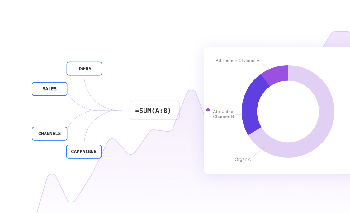
Step-by-Step Climate Analysis Examples
Example 1: Analyzing Regional Temperature Changes
Let's walk through a real analysis scenario. Imagine you have temperature data from weather stations across the Pacific Northwest covering the last 40 years. Here's how you'd analyze it in Sourcetable:
Example 2: Carbon Emission Tracking for a City
A municipal environmental department wants to track progress toward carbon neutrality goals. They have emission data from transportation, buildings, and industry sectors:
Example 3: Extreme Weather Event Analysis
Environmental researchers studying the changing frequency of heat waves can use Sourcetable to process decades of temperature data:
Frequently Asked Questions
Can Sourcetable handle large climate datasets with millions of records?
Yes, Sourcetable is designed to process large environmental datasets efficiently. It can handle millions of temperature readings, precipitation measurements, and other climate observations without performance issues. The platform automatically optimizes data processing and provides progress indicators for large imports.
How does the AI help with climate data analysis?
The AI assistant understands environmental terminology and common climate analysis tasks. You can ask questions like 'What's the warming trend in this region?' or 'Are extreme precipitation events becoming more frequent?' The AI will automatically apply appropriate statistical methods, handle missing data, and generate relevant visualizations.
What types of climate data sources can I import?
Sourcetable supports all common environmental data formats including CSV files from weather stations, netCDF files from climate models, JSON from API feeds, and Excel files from field measurements. You can also connect to real-time environmental monitoring systems and weather data APIs.
Can I create publication-quality climate charts and reports?
Absolutely. Sourcetable includes specialized chart types for climate data like temperature anomaly plots, precipitation heat maps, and emission trend charts. All visualizations are publication-ready with customizable styling, proper scientific notation, and export options for reports and presentations.
How does Sourcetable handle data quality issues common in environmental datasets?
Environmental data often has gaps, outliers, and inconsistencies. Sourcetable's AI automatically identifies these issues and suggests appropriate solutions. It can interpolate missing values using climatologically appropriate methods, flag suspicious outliers, and standardize units across different data sources.
Can I perform statistical analysis on climate trends?
Yes, Sourcetable includes comprehensive statistical tools for climate analysis. You can calculate linear and non-linear trends, perform significance testing, analyze seasonal patterns, and conduct change point detection. The AI can guide you through selecting appropriate statistical methods for your specific climate questions.
Is it possible to combine different types of environmental data?
Definitely. You can integrate temperature, precipitation, air quality, sea level, and other environmental variables in a single analysis. Sourcetable automatically handles different time scales and spatial resolutions, making it easy to study relationships between different climate factors.
How can I share climate analysis results with stakeholders?
Sourcetable offers multiple sharing options. You can export professional reports as PDFs, create interactive dashboards for web sharing, or generate presentation-ready slides. The platform also supports automated report generation, so you can set up regular climate monitoring updates.


Frequently Asked Questions
If your question is not covered here, you can contact our team.
Contact UsHow do I analyze data?
What data sources are supported?
What data science tools are available?
Can I analyze spreadsheets with multiple tabs?
Can I generate data visualizations?
What is the maximum file size?
Is this free?
Is there a discount for students, professors, or teachers?
Is Sourcetable programmable?
Ready to Transform Your Climate Analysis?
Join environmental professionals who trust Sourcetable for their climate change impact analysis. Start analyzing temperature trends, emission data, and environmental patterns today.